Transport Functions
Port
Road
Hub Profile
Place type
Populated place
Region
England
Time zone
Europe/London
Elevation
11 m
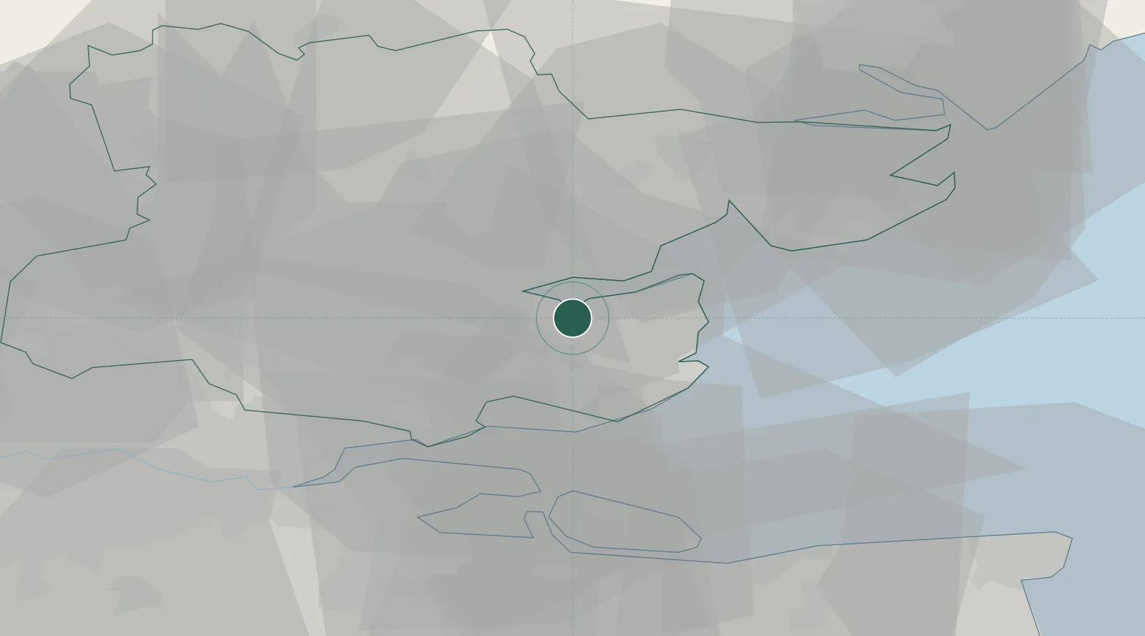
Location
Nearby Logistics Neighbours
Cities
- 1Creeksea6 km
- 2Heybridge6 km
- 3Burnham on Crouch9 km
- 4Paglesham9 km
- 5Med9 km
Ports
- 1Colchester25 km
- 2Sheerness26 km
- 3Isle Of Grain28 km
- 4Thamesport28 km
- 5Chatham Docks35 km
Airports
- 1London Southend Airport14 km
- 2London Stansted Airport43 km
- 3Wattisham Airfield51 km
- 4London City Airport53 km
- 5London Biggin Hill Airport64 km
Trade Zones
DatabookThe Record of Consolidated Knowledge
United Kingdom beyond logistics?