UN/LOCODE hub · United Kingdom
GBBOC
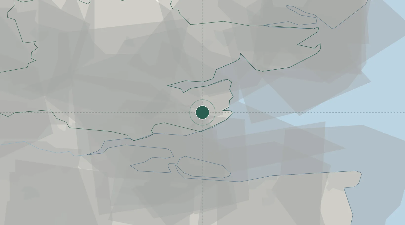
Burnham on Crouch
51.6167°, 0.8333°
7,561
Population
1
Transport functions
Transport Functions
Port
Hub Profile
Place type
Populated place
Region
England
Population
7,561
Time zone
Europe/London
Elevation
16 m
Location
Nearby Logistics Neighbours
Cities
- 1Creeksea4 km
- 2Med7 km
- 3Great Wakering8 km
- 4Maylandsea9 km
- 5Netherfield10 km
Ports
- 1Sheerness19 km
- 2Isle Of Grain22 km
- 3Thamesport22 km
- 4Colchester30 km
- 5Whitstable31 km
Airports
- 1London Southend Airport11 km
- 2London Stansted Airport51 km
- 3London City Airport55 km
- 4Wattisham Airfield57 km
- 5London Biggin Hill Airport64 km
Trade Zones
DatabookThe Record of Consolidated Knowledge
United Kingdom beyond logistics?