UN/LOCODE hub · United Kingdom
GBPAG

Paglesham

51.6333°, 0.6667°
1
Transport functions

Transport Functions

Port
UN/LOCODE

Hub Profile

Region
ESS
GeoNames

Location

Location of GBPAG
Natural Earth 10m (public domain) · ESS · GBPAG · 51.63, 0.67GoogleOSMYandex

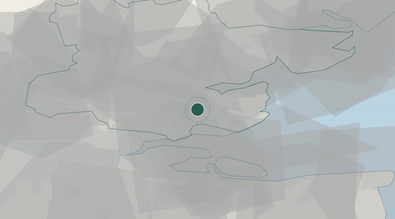
Nearby Logistics Neighbours

Cities
  1. 1Creeksea8 km
  2. 2Netherfield8 km
  3. 3Rettendon8 km
  4. 4Maylandsea9 km
  5. 5Leigh-on-Sea9 km
Nearest neighbours — logibook spatial index (haversine) over the source coordinates
Ports
  1. 1Sheerness21 km
  2. 2Isle Of Grain22 km
  3. 3Thamesport22 km
  4. 4Chatham Docks27 km
  5. 5Gravesend29 km
Nearest neighbours — logibook spatial index (haversine) over the source coordinates
Airports
  1. 1London Southend Airport7 km
  2. 2London Stansted Airport41 km
  3. 3London City Airport45 km
  4. 4London Biggin Hill Airport55 km
  5. 5Wattisham Airfield58 km
Nearest neighbours — logibook spatial index (haversine) over the source coordinates
Trade Zones
  1. 1Port of Sheerness Free Zone22 km
  2. 2Port of Tilbury Free Zone29 km
  3. 3Harlow Enterprise Zone42 km
  4. 4London Royal Docks Enterprise Zone48 km
  5. 5Discovery Park - Sandwich Enterprise Zone61 km
Nearest neighbours — logibook spatial index (haversine) over the source coordinates
DatabookThe Record of Consolidated Knowledge
United Kingdom beyond logistics?
Browse databook

All Sources

LocationsUN/LOCODE
UN/LOCODE — free
Portsthe NGA World Port Index
Public domain (US gov)
AirportsOurAirports
Public domain
Trade Zonesthe World Bank SEZ database
CC BY 4.0
Trade ZonesOpen Zone Map
CC BY
← United Kingdom locations