Transport Functions
Port
Hub Profile
Region
MDW
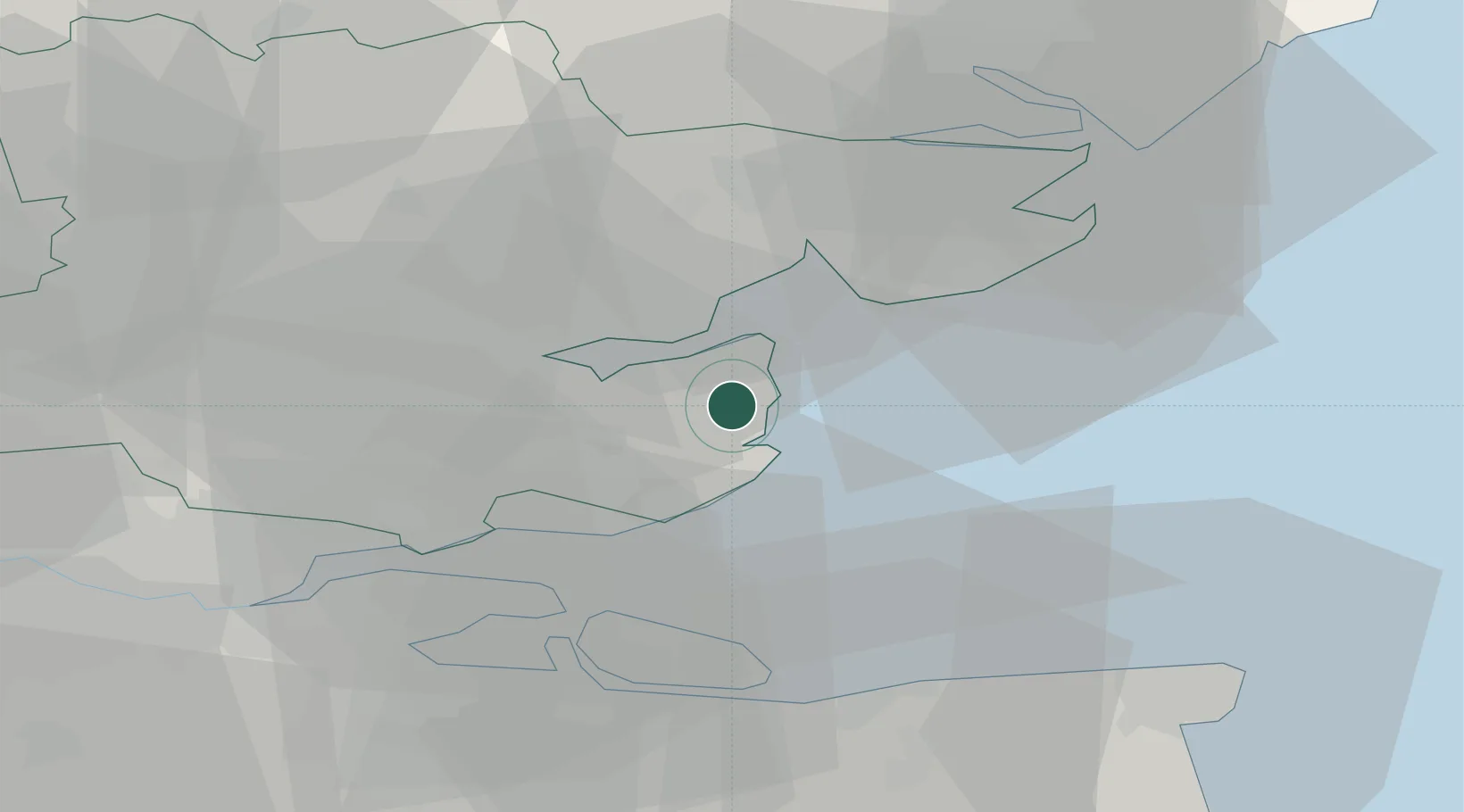
Location
Nearby Logistics Neighbours
Cities
- 1Burnham on Crouch7 km
- 2Bradwell Waterside8 km
- 3Creeksea9 km
- 4Maylandsea9 km
- 5West Mersea13 km
Ports
- 1Colchester24 km
- 2Sheerness26 km
- 3Isle Of Grain29 km
- 4Thamesport29 km
- 5Whitstable35 km
Airports
- 1London Southend Airport18 km
- 2Wattisham Airfield51 km
- 3London Stansted Airport52 km
- 4London City Airport61 km
- 5London Biggin Hill Airport71 km
Trade Zones
DatabookThe Record of Consolidated Knowledge
United Kingdom beyond logistics?