Transport Functions
Port
Road
Hub Profile
Place type
Populated place
Region
England
Time zone
Europe/London
Elevation
10 m
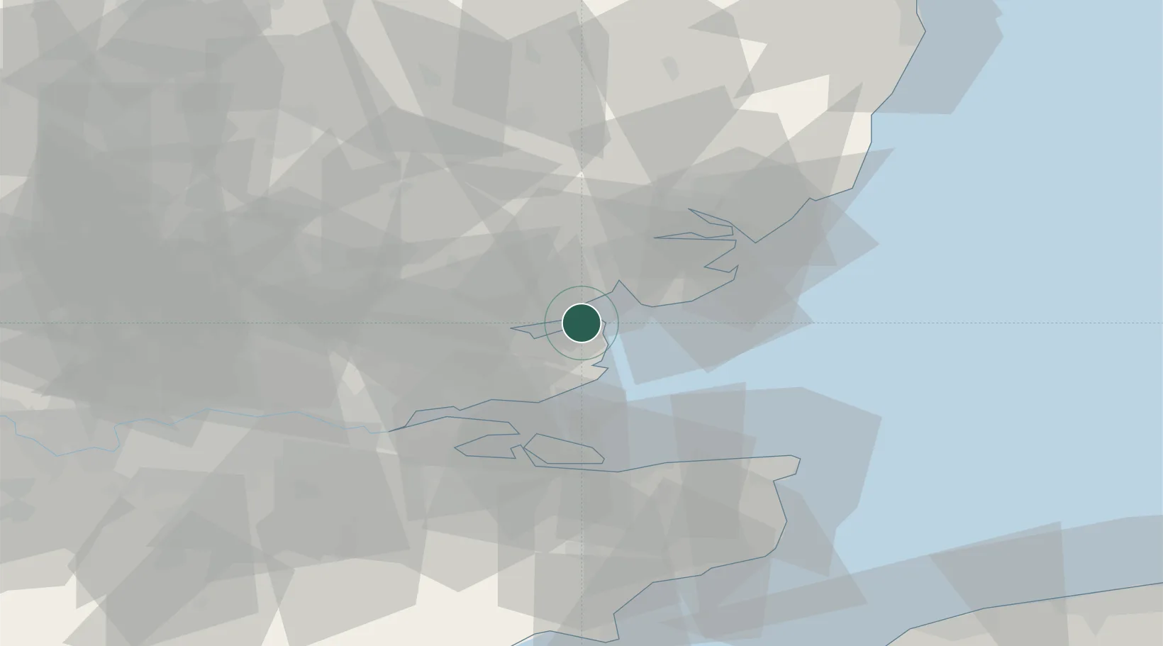
Location
Nearby Logistics Neighbours
Cities
- 1West Mersea6 km
- 2Med8 km
- 3Maylandsea10 km
- 4Heybridge13 km
- 5Creeksea13 km
Ports
- 1Colchester17 km
- 2Sheerness33 km
- 3Isle Of Grain36 km
- 4Thamesport36 km
- 5Harwich37 km
Airports
- 1London Southend Airport22 km
- 2Wattisham Airfield44 km
- 3London Stansted Airport48 km
- 4London City Airport63 km
- 5RAF Honington68 km
Trade Zones
DatabookThe Record of Consolidated Knowledge
United Kingdom beyond logistics?