UN/LOCODE hub · United Kingdom
GBTTH
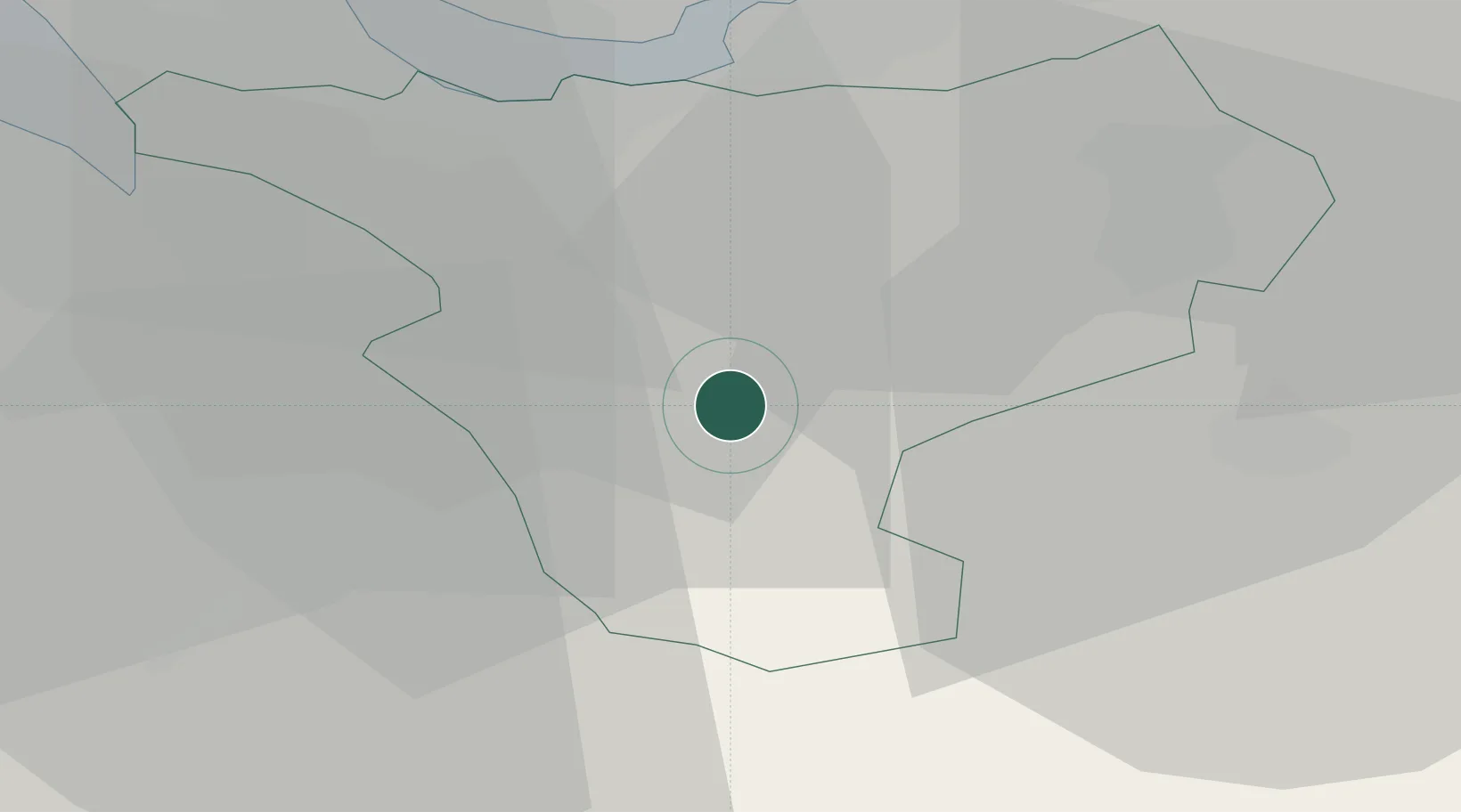
Tattenhall
53.1167°, -2.7500°
1,950
Population
2
Transport functions
Transport Functions
Road
Multimodal
Hub Profile
Place type
Populated place
Region
England
Population
1,950
Time zone
Europe/London
Elevation
38 m
Location
Nearby Logistics Neighbours
Ports
- 1Garlston28 km
- 2Liverpool37 km
- 3Mostyn41 km
- 4Manchester52 km
- 5Liverpool Bay Terminal71 km
Airports
- 1Hawarden Airport17 km
- 2Liverpool John Lennon Airport25 km
- 3RAF Shawbury36 km
- 4Manchester Airport41 km
- 5RAF Cosford61 km
Trade Zones
DatabookThe Record of Consolidated Knowledge
United Kingdom beyond logistics?