UN/LOCODE hub · United Kingdom
GBLLV
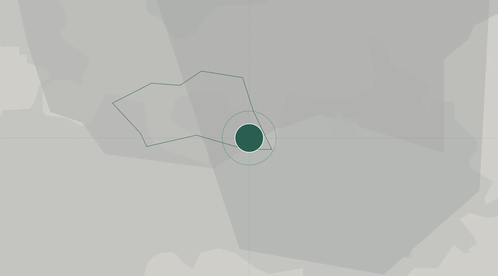
Little Lever
53.5500°, -2.3667°
11,329
Population
2
Transport functions
Transport Functions
Rail
Road
Hub Profile
Place type
Populated place
Region
England
Population
11,329
Time zone
Europe/London
Elevation
85 m
Location
Nearby Logistics Neighbours
Cities
- 1Swinton6 km
- 2Bolton6 km
- 3Prestwich6 km
- 4Eccles8 km
- 5Manchester Ship Canal, Salford8 km
Ports
- 1Manchester10 km
- 2Garlston42 km
- 3Liverpool45 km
- 4Fleetwood59 km
- 5Lancaster62 km
Airports
- 1Manchester Airport23 km
- 2Liverpool John Lennon Airport40 km
- 3Warton Aerodrome40 km
- 4Blackpool Airport50 km
- 5Hawarden Airport58 km
Trade Zones
DatabookThe Record of Consolidated Knowledge
United Kingdom beyond logistics?