UN/LOCODE hub · United Kingdom
GBBLT
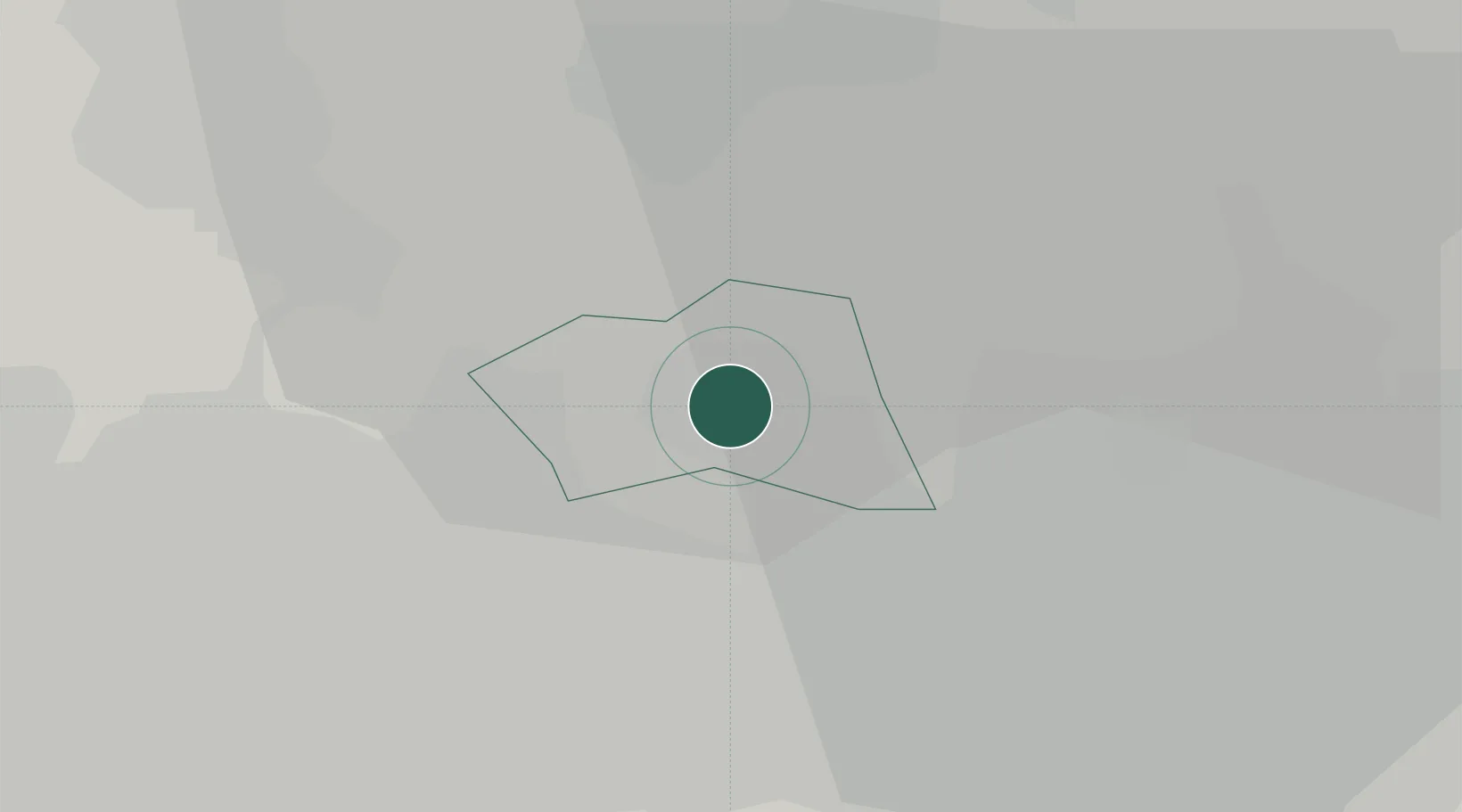
Bolton
53.5833°, -2.4333°
141,331
Population
1
Transport functions
Transport Functions
Port
Hub Profile
Place type
Provincial seat
Region
England
Population
141,331
Time zone
Europe/London
Elevation
105 m
Location
Nearby Logistics Neighbours
Cities
- 1Lostock Junction5 km
- 2Little Lever6 km
- 3Westhoughton7 km
- 4Ramsbottom10 km
- 5Blackrod10 km
Ports
- 1Manchester16 km
- 2Garlston40 km
- 3Liverpool42 km
- 4Fleetwood53 km
- 5Lancaster57 km
Airports
- 1Manchester Airport28 km
- 2Warton Aerodrome35 km
- 3Liverpool John Lennon Airport39 km
- 4Blackpool Airport45 km
- 5Hawarden Airport58 km
Trade Zones
DatabookThe Record of Consolidated Knowledge
United Kingdom beyond logistics?