Transport Functions
Port
Hub Profile
Region
LAN
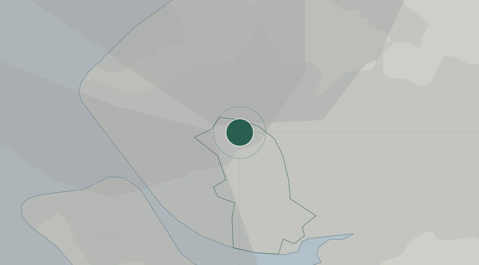
Location
Nearby Logistics Neighbours
Cities
- 1Sefton7 km
- 2Liverpool7 km
- 3Whiston10 km
- 4Saint Helens10 km
- 5Upholland11 km
Ports
- 1Liverpool13 km
- 2Garlston17 km
- 3Mostyn33 km
- 4Manchester40 km
- 5Liverpool Bay Terminal45 km
Airports
- 1Liverpool John Lennon Airport18 km
- 2Warton Aerodrome27 km
- 3Blackpool Airport32 km
- 4Hawarden Airport37 km
- 5Manchester Airport42 km
Trade Zones
DatabookThe Record of Consolidated Knowledge
United Kingdom beyond logistics?