Transport Functions
Road
Multimodal
Hub Profile
Place type
Populated place
Region
England
Population
328
Time zone
Europe/London
Elevation
114 m
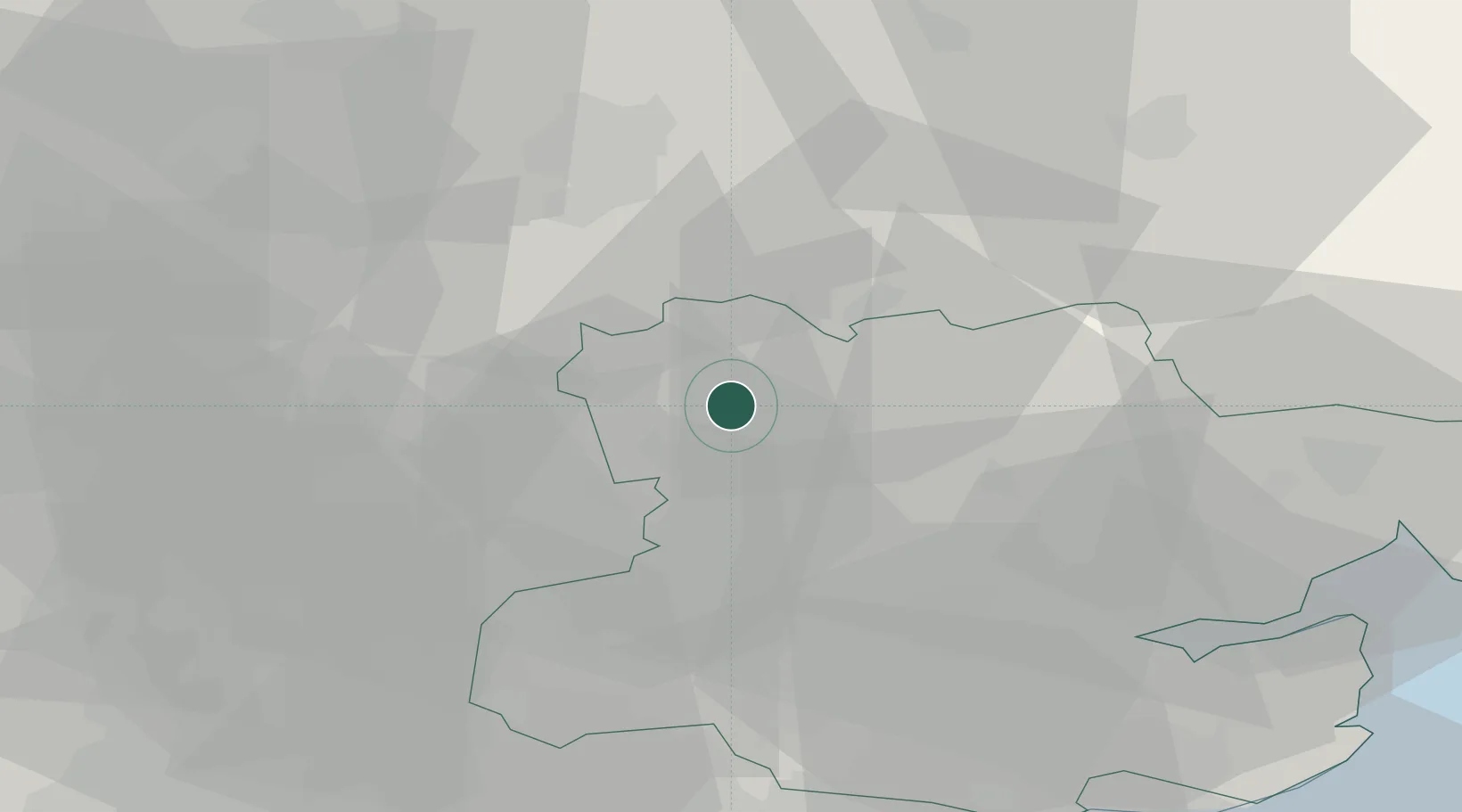
Location
Nearby Logistics Neighbours
Cities
- 1Felsted16 km
- 2Widford17 km
- 3Buntingford20 km
- 4Castle Hedingham23 km
- 5Dullingham27 km
Ports
- 1Colchester46 km
- 2Tilbury56 km
- 3London57 km
- 4Gravesend58 km
- 5Ipswich62 km
Airports
- 1London Stansted Airport9 km
- 2Cambridge City Airport27 km
- 3London Luton Airport45 km
- 4RAF Mildenhall46 km
- 5Wattisham Airfield50 km
Trade Zones
DatabookThe Record of Consolidated Knowledge
United Kingdom beyond logistics?