Transport Functions
Multimodal
Hub Profile
Place type
Populated place
Region
England
Time zone
Europe/London
Elevation
54 m
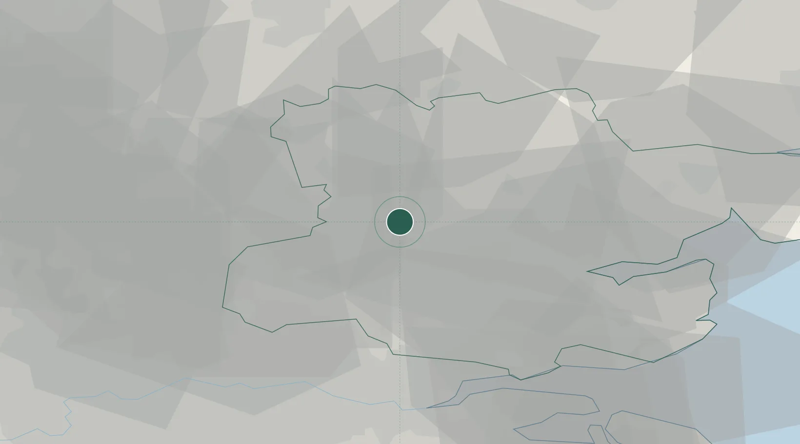
Location
Nearby Logistics Neighbours
Cities
- 1Felsted6 km
- 2Chipping Ongar14 km
- 3Widford15 km
- 4Debden17 km
- 5Hatfield Peverel19 km
Ports
- 1Tilbury39 km
- 2Colchester41 km
- 3Gravesend41 km
- 4London46 km
- 5Chatham Docks49 km
Airports
- 1London Stansted Airport10 km
- 2London Southend Airport37 km
- 3London City Airport40 km
- 4Cambridge City Airport45 km
- 5London Luton Airport49 km
Trade Zones
DatabookThe Record of Consolidated Knowledge
United Kingdom beyond logistics?