UN/LOCODE hub · United Kingdom
GBBTO
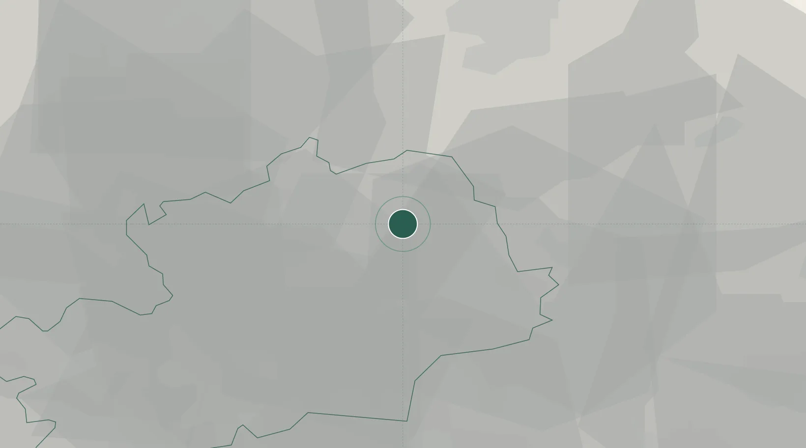
Buntingford
51.9500°, -0.0167°
4,948
Population
2
Transport functions
Transport Functions
Road
Multimodal
Hub Profile
Place type
Populated place
Region
England
Population
4,948
Time zone
Europe/London
Elevation
93 m
Location
Nearby Logistics Neighbours
Cities
- 1Graveley13 km
- 2Convoys Wharf17 km
- 3Debden20 km
- 4Meppershall22 km
- 5Essendon24 km
Ports
- 1London50 km
- 2Tilbury59 km
- 3Gravesend62 km
- 4Colchester64 km
- 5Chatham Docks73 km
Airports
- 1London Stansted Airport19 km
- 2London Luton Airport26 km
- 3Cambridge City Airport31 km
- 4Cranfield Airport43 km
- 5London City Airport50 km
Trade Zones
DatabookThe Record of Consolidated Knowledge
United Kingdom beyond logistics?