Transport Functions
Rail
Road
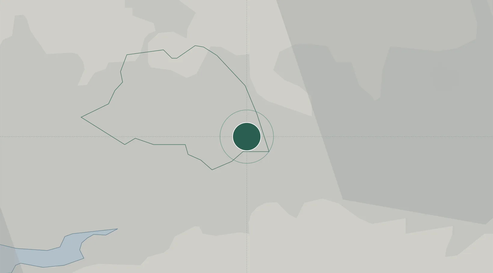
Hub Profile
Place type
Populated place
Region
England
Population
43,626
Time zone
Europe/London
Elevation
32 m
Location
Nearby Logistics Neighbours
Cities
- 1Abram6 km
- 2Westhoughton7 km
- 3Wigan9 km
- 4Lostock Junction9 km
- 5Earlestown10 km
Ports
- 1Manchester17 km
- 2Garlston29 km
- 3Liverpool33 km
- 4Mostyn53 km
- 5Fleetwood58 km
Airports
- 1Manchester Airport22 km
- 2Liverpool John Lennon Airport28 km
- 3Warton Aerodrome38 km
- 4Hawarden Airport46 km
- 5Blackpool Airport47 km
Trade Zones
DatabookThe Record of Consolidated Knowledge
United Kingdom beyond logistics?