Transport Functions
Multimodal
Hub Profile
Place type
Populated place
Region
Scotland
Time zone
Europe/London
Elevation
4 m
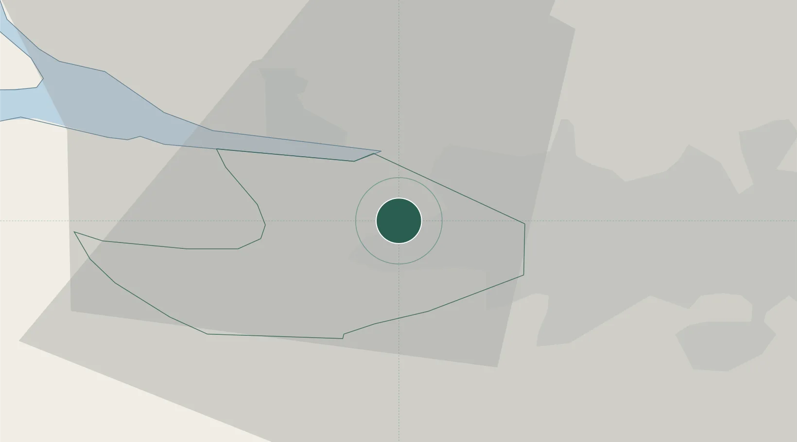
Location
Nearby Logistics Neighbours
Cities
- 1Renfrew5 km
- 2Clydebank6 km
- 3Bowling6 km
- 4Old Kilpatrick6 km
- 5Howwood9 km
Ports
- 1Renfrew6 km
- 2Old Kilpatrick6 km
- 3Bowling8 km
- 4Glasgow11 km
- 5Greenock20 km
Airports
- 1Glasgow Airport2 km
- 2Glasgow Prestwick Airport41 km
- 3Edinburgh Airport69 km
- 4Oban Airport88 km
- 5Campbeltown Airport90 km
Trade Zones
DatabookThe Record of Consolidated Knowledge
United Kingdom beyond logistics?