Transport Functions
Multimodal
Hub Profile
Place type
Populated place
Region
England
Population
571
Time zone
Europe/London
Elevation
38 m
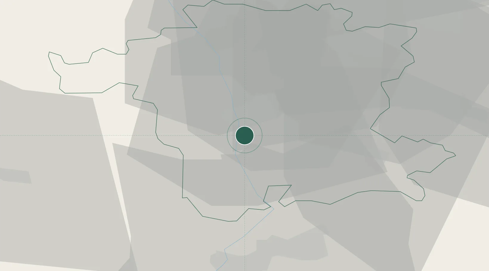
Location
Nearby Logistics Neighbours
Cities
- 1Norton2 km
- 2Warndon7 km
- 3Strensham10 km
- 4Throckmorton13 km
- 5Wychbold17 km
Airports
- 1Gloucestershire Airport29 km
- 2Birmingham Airport46 km
- 3RAF Cosford55 km
- 4Coventry Airport56 km
- 5RAF Fairford60 km
Trade Zones
DatabookThe Record of Consolidated Knowledge
United Kingdom beyond logistics?