Transport Functions
Port
Multimodal
Hub Profile
Place type
Populated place
Region
Occitanie
Time zone
Europe/Paris
Elevation
121 m
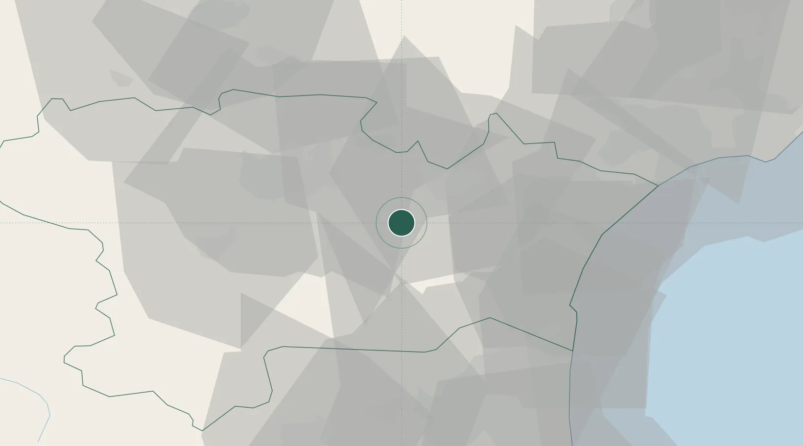
Location
Nearby Logistics Neighbours
Cities
- 1Ribaute4 km
- 2Fabrezan4 km
- 3Fontcouverte6 km
- 4Moux6 km
- 5Tournissan6 km
Ports
- 1Port-La-Nouvelle36 km
- 2Port-Vendres78 km
- 3Sete90 km
- 4Rosas106 km
- 5Palamos150 km
Airports
Trade Zones
- 1ZFU Béziers51 km
- 2ZFU Perpignan52 km
- 3ZFU Montpellier110 km
- 4ZFU Toulouse111 km
- 5ZFU Nîmes157 km
DatabookThe Record of Consolidated Knowledge
France beyond logistics?