Transport Functions
Multimodal
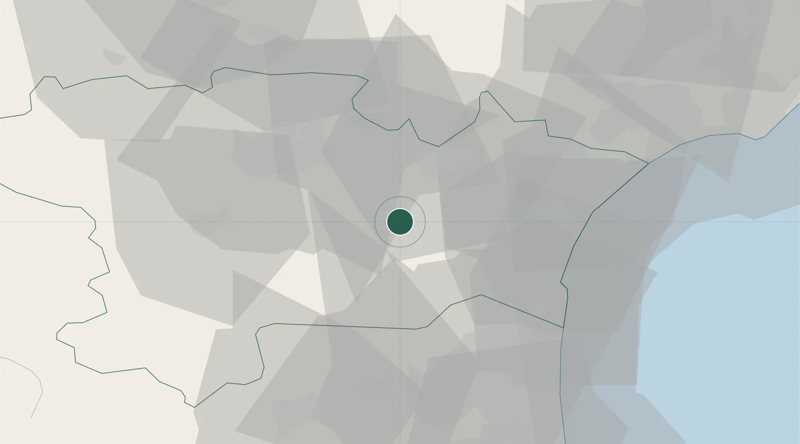
Hub Profile
Place type
Populated place
Region
Occitanie
Population
233
Time zone
Europe/Paris
Elevation
137 m
Location
Nearby Logistics Neighbours
Cities
- 1Saint-Laurent-de-la-Cabrerisse3 km
- 2Ribaute3 km
- 3Talairan4 km
- 4Camplong-d'Aude6 km
- 5Fabrezan6 km
Ports
- 1Port-La-Nouvelle33 km
- 2Port-Vendres73 km
- 3Sete91 km
- 4Rosas100 km
- 5Palamos144 km
Airports
Trade Zones
- 1ZFU Perpignan47 km
- 2ZFU Béziers53 km
- 3ZFU Montpellier112 km
- 4ZFU Toulouse115 km
- 5ZFU Nîmes159 km
DatabookThe Record of Consolidated Knowledge
France beyond logistics?