Transport Functions
Multimodal
Hub Profile
Place type
Populated place
Region
Occitanie
Population
1,207
Time zone
Europe/Paris
Elevation
80 m
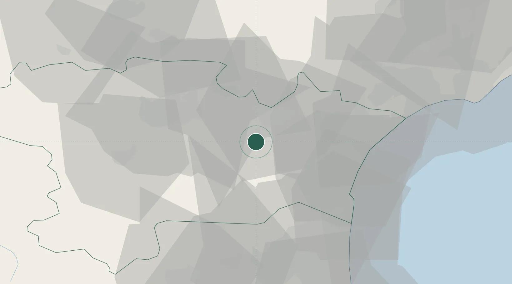
Location
Nearby Logistics Neighbours
Cities
- 1Ferrals-les-Corbières3 km
- 2Fontcouverte4 km
- 3Camplong-d'Aude4 km
- 4Saint-Laurent-de-la-Cabrerisse6 km
- 5Conilhac-Corbières6 km
Ports
- 1Port-La-Nouvelle33 km
- 2Port-Vendres77 km
- 3Sete86 km
- 4Rosas104 km
- 5Palamos149 km
Airports
Trade Zones
- 1ZFU Béziers47 km
- 2ZFU Perpignan51 km
- 3ZFU Montpellier107 km
- 4ZFU Toulouse114 km
- 5ZFU Nîmes153 km
DatabookThe Record of Consolidated Knowledge
France beyond logistics?