Transport Functions
Multimodal
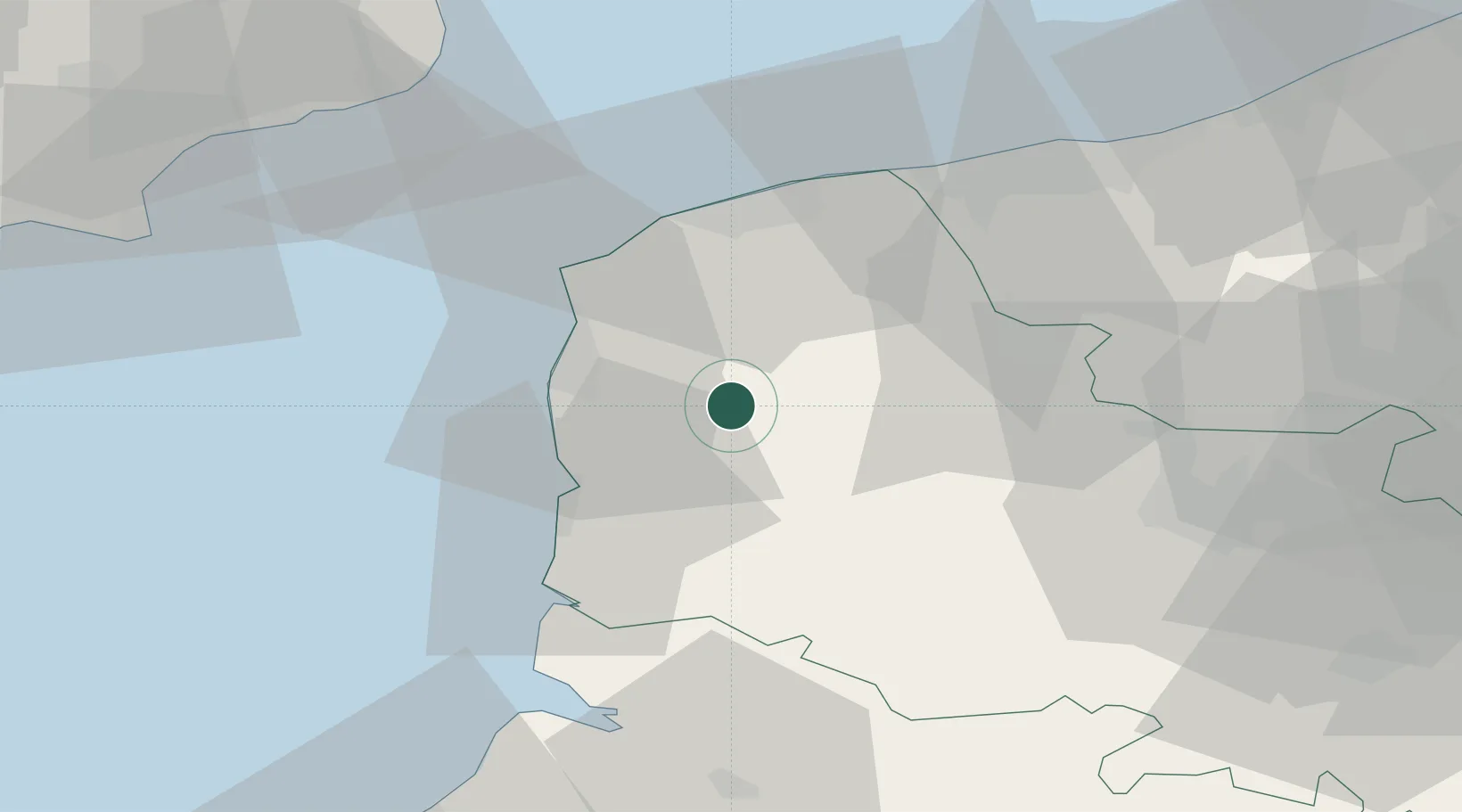
Hub Profile
Place type
Populated place
Region
Hauts-de-France
Population
5,109
Time zone
Europe/Paris
Elevation
98 m
Location
Nearby Logistics Neighbours
Cities
- 1Zoteux7 km
- 2Bourthes10 km
- 3Nielles-lès-Bléquin13 km
- 4Neufchâtel-Hardelot15 km
- 5Boulogne-sur-Mer16 km
Ports
- 1Boulogne-Sur-Mer18 km
- 2Calais33 km
- 3Gravelines42 km
- 4Saint-Valery-Sur-Somme56 km
- 5Dunkerque Port Est57 km
Airports
DatabookThe Record of Consolidated Knowledge
France beyond logistics?