UN/LOCODE hub · France
FRBOL
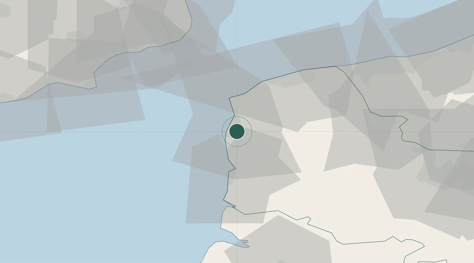
Boulogne-sur-Mer
50.7167°, 1.6167°
47,013
Population
2
Transport functions
Transport Functions
Port
Rail
Hub Profile
Place type
District seat
Region
Hauts-de-France
Population
47,013
Time zone
Europe/Paris
Elevation
43 m
Location
Nearby Logistics Neighbours
Cities
- 1Outreau3 km
- 2Le Portel4 km
- 3Wimereux6 km
- 4Hardelot-Plage10 km
- 5Neufchâtel-Hardelot11 km
Ports
- 1Calais32 km
- 2Gravelines47 km
- 3Dover Harbor49 km
- 4Folkestone Harbour50 km
- 5Saint-Valery-Sur-Somme59 km
Airports
DatabookThe Record of Consolidated Knowledge
France beyond logistics?