UN/LOCODE hub · France
FRDCS
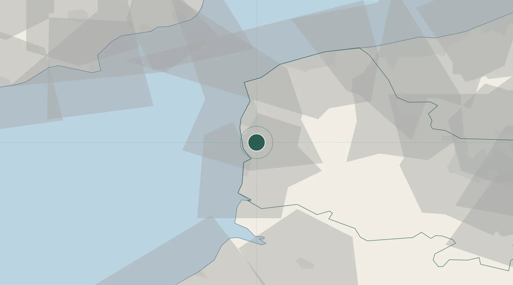
Neufchâtel-Hardelot
50.6167°, 1.6333°
3,693
Population
3
Transport functions
Transport Functions
Rail
Road
Multimodal
Hub Profile
Place type
Populated place
Region
Hauts-de-France
Population
3,693
Time zone
Europe/Paris
Elevation
49 m
Location
Nearby Logistics Neighbours
Cities
- 1Hardelot-Plage4 km
- 2Outreau10 km
- 3Le Portel10 km
- 4Boulogne-sur-Mer11 km
- 5Étaples11 km
Ports
- 1Boulogne-Sur-Mer13 km
- 2Calais42 km
- 3Saint-Valery-Sur-Somme48 km
- 4Gravelines55 km
- 5Dover Harbor60 km
Airports
Trade Zones
DatabookThe Record of Consolidated Knowledge
France beyond logistics?