UN/LOCODE hub · France
FRWNB
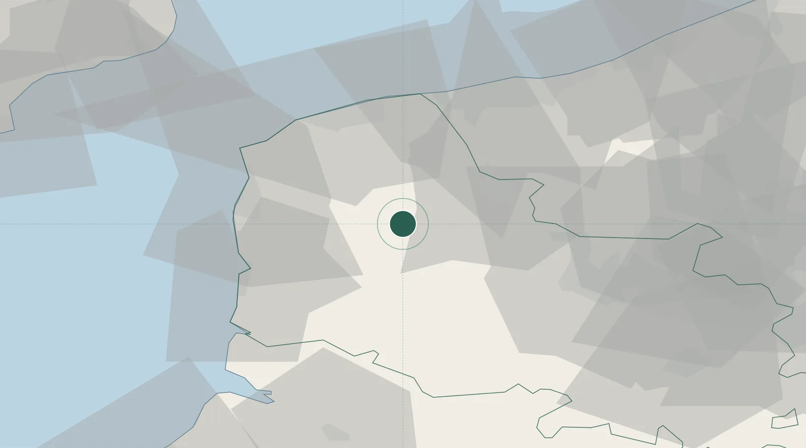
Nielles-lès-Bléquin
50.6667°, 2.0167°
807
Population
1
Transport functions
Transport Functions
Multimodal
Hub Profile
Place type
Populated place
Region
Hauts-de-France
Population
807
Time zone
Europe/Paris
Elevation
83 m
Location
Nearby Logistics Neighbours
Cities
- 1Wavrans-sur-l'Aa8 km
- 2Bourthes10 km
- 3Quercamps10 km
- 4Zoteux11 km
- 5Quelmes11 km
Ports
- 1Boulogne-Sur-Mer30 km
- 2Calais35 km
- 3Gravelines38 km
- 4Dunkerque Port Est50 km
- 5Saint-Valery-Sur-Somme61 km
Airports
DatabookThe Record of Consolidated Knowledge
France beyond logistics?