Transport Functions
Multimodal
Hub Profile
Place type
Populated place
Region
Hauts-de-France
Population
553
Time zone
Europe/Paris
Elevation
123 m
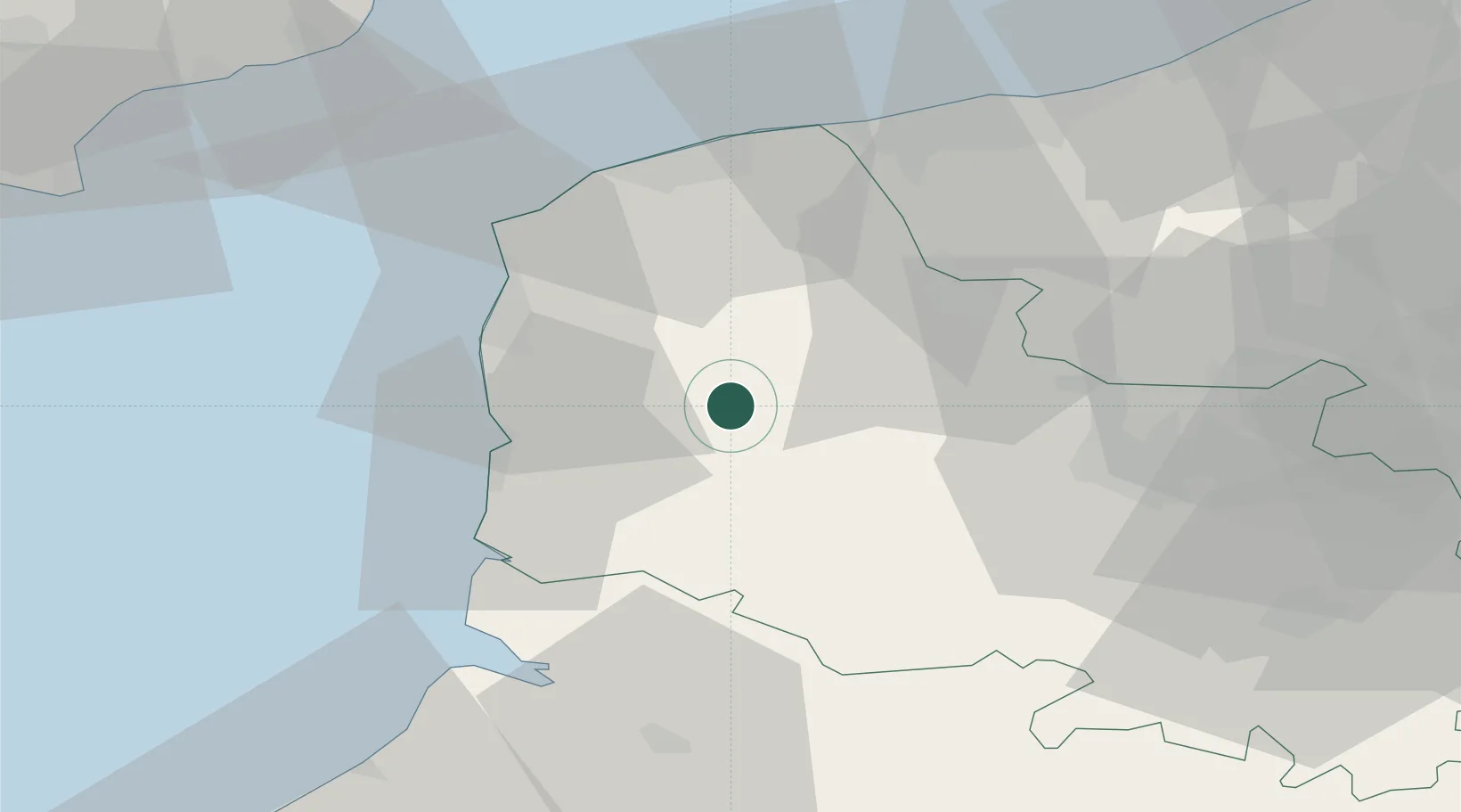
Location
Nearby Logistics Neighbours
Cities
- 1Zoteux4 km
- 2Nielles-lès-Bléquin10 km
- 3Desvres10 km
- 4Radinghem15 km
- 5Estréelles15 km
Ports
- 1Boulogne-Sur-Mer28 km
- 2Calais41 km
- 3Gravelines46 km
- 4Saint-Valery-Sur-Somme52 km
- 5Dunkerque Port Est60 km
Airports
Trade Zones
DatabookThe Record of Consolidated Knowledge
France beyond logistics?