Transport Functions
Multimodal
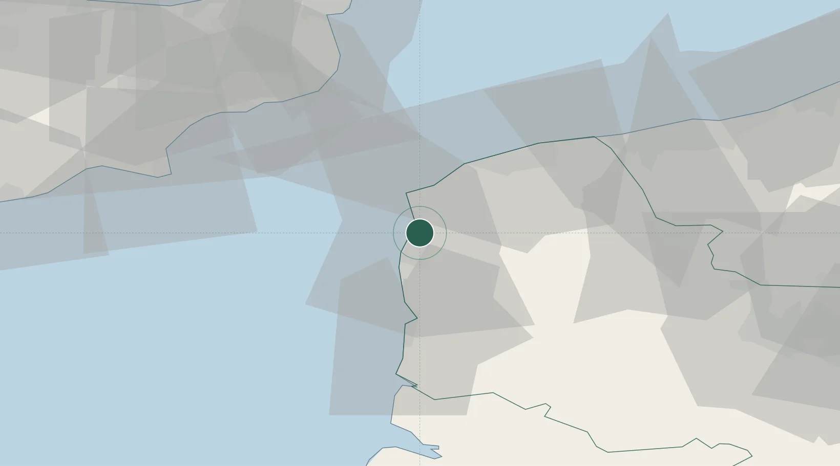
Hub Profile
Place type
Populated place
Region
Hauts-de-France
Population
7,663
Time zone
Europe/Paris
Elevation
7 m
Location
Nearby Logistics Neighbours
Cities
- 1Boulogne-sur-Mer6 km
- 2Outreau8 km
- 3Le Portel8 km
- 4Tardinghen11 km
- 5Wissant13 km
Ports
- 1Boulogne-Sur-Mer4 km
- 2Calais28 km
- 3Gravelines44 km
- 4Dover Harbor44 km
- 5Folkestone Harbour46 km
Airports
DatabookThe Record of Consolidated Knowledge
France beyond logistics?