Transport Functions
Multimodal
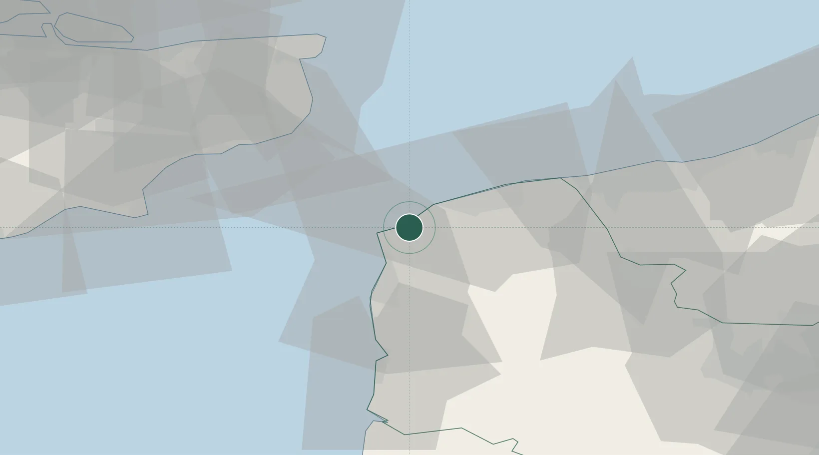
Hub Profile
Place type
Populated place
Region
Hauts-de-France
Population
1,052
Time zone
Europe/Paris
Elevation
19 m
Location
Nearby Logistics Neighbours
Cities
- 1Tardinghen3 km
- 2Sangatte8 km
- 3Fréthun11 km
- 4Wimereux13 km
- 5Les Fontinettes14 km
Ports
- 1Calais16 km
- 2Boulogne-Sur-Mer17 km
- 3Gravelines34 km
- 4Dover Harbor35 km
- 5Folkestone Harbour40 km
Airports
- 1Calais Marck Airport22 km
- 2Le Touquet-Côte d'Opale Airport41 km
- 3Lydd London Ashford Airport52 km
- 4Koksijde Air Base73 km
- 5Merville-Calonne Airport75 km
Trade Zones
DatabookThe Record of Consolidated Knowledge
France beyond logistics?