Transport Functions
Road
Multimodal
Hub Profile
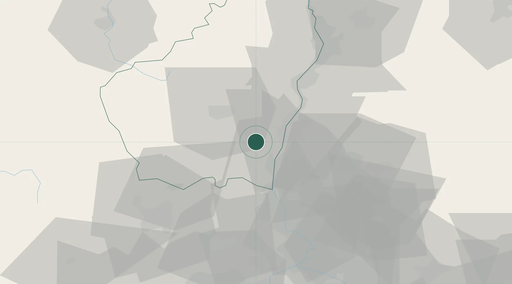
Place type
Populated place
Region
Rhône-Alpes
Population
401
Time zone
Europe/Paris
Elevation
185 m
Location
Nearby Logistics Neighbours
Cities
- 1Lavilledieu12 km
- 2Donzère12 km
- 3Mirabel12 km
- 4Allan16 km
- 5Les Granges-Gontardes17 km
Ports
- 1Fos123 km
- 2Port Saint Louis Du Rhone126 km
- 3Port-de-Bouc126 km
- 4Sete141 km
- 5Marseille146 km
Airports
Trade Zones
- 1ZFU Valence51 km
- 2ZFU Avignon64 km
- 3ZFU Nîmes78 km
- 4ZFU Saint-Etienne105 km
- 5ZFU Grenoble115 km
DatabookThe Record of Consolidated Knowledge
France beyond logistics?