Transport Functions
Multimodal
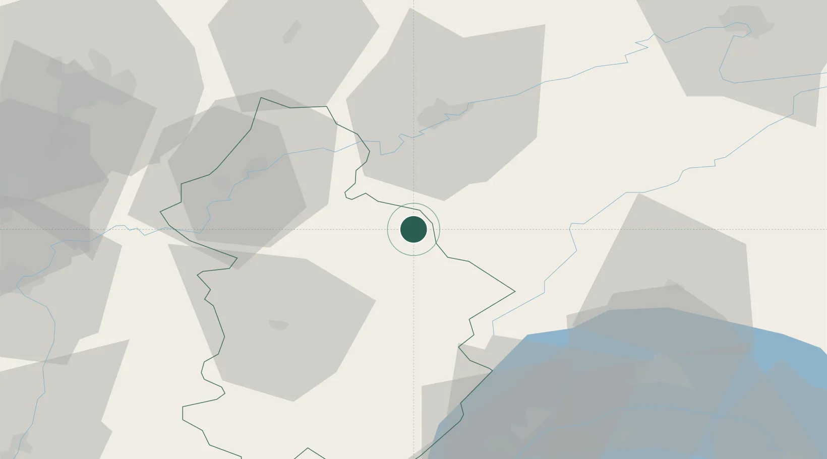
Hub Profile
Place type
Populated place
Region
Bourgogne
Population
119
Time zone
Europe/Paris
Elevation
638 m
Location
Nearby Logistics Neighbours
Cities
- 1Salins-les-Bains5 km
- 2La Chapelle-sur-Furieuse9 km
- 3Eternoz11 km
- 4Mesnay11 km
- 5Montigny-lès-Arsures11 km
Ports
- 1Savona353 km
- 2Rada Di Vado356 km
- 3Genova365 km
- 4Monaco374 km
- 5Nice375 km
Airports
- 1Dole Tavaux Airport40 km
- 2Les Eplatures Airport67 km
- 3Dijon Longvic airport74 km
- 4Payerne Air Base75 km
- 5Geneva Cointrin International Airport79 km
Trade Zones
DatabookThe Record of Consolidated Knowledge
France beyond logistics?