Transport Functions
Multimodal
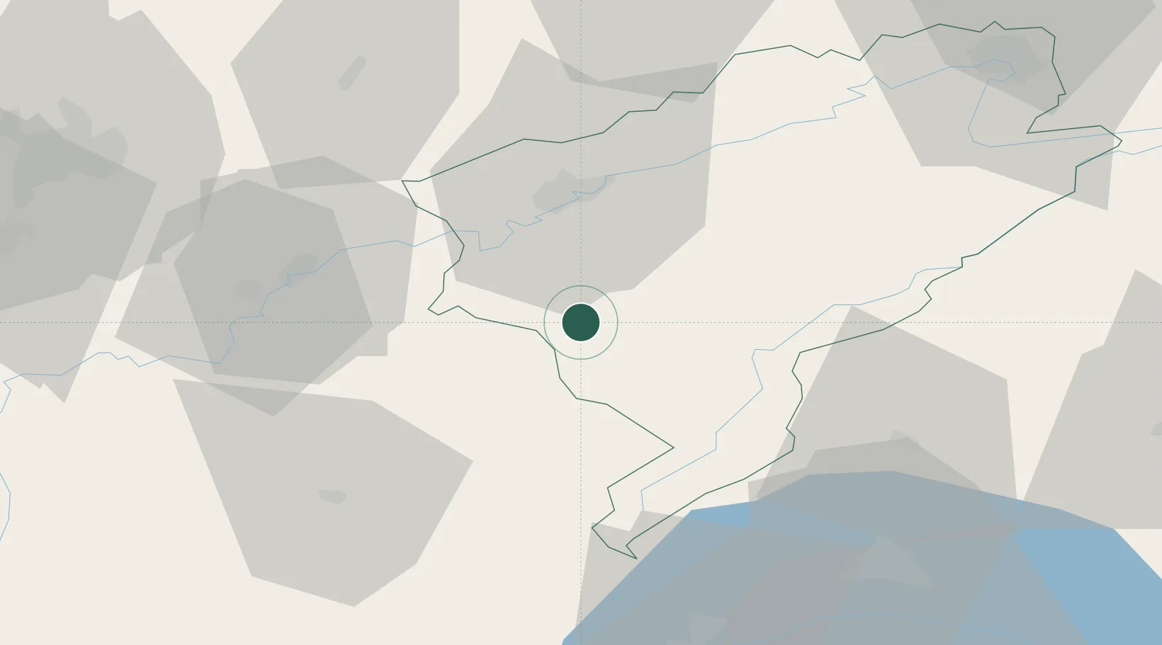
Hub Profile
Place type
Populated place
Region
Bourgogne
Population
305
Time zone
Europe/Paris
Elevation
510 m
Location
Nearby Logistics Neighbours
Cities
- 1Cernans11 km
- 2La Chapelle-sur-Furieuse13 km
- 3Salins-les-Bains15 km
- 4Quingey16 km
- 5Liesle17 km
Ports
- 1Savona355 km
- 2Rada Di Vado358 km
- 3Genova366 km
- 4Monaco379 km
- 5San Remo379 km
Airports
- 1Dole Tavaux Airport46 km
- 2Les Eplatures Airport58 km
- 3Payerne Air Base69 km
- 4Vesoul-Frotey Airfield72 km
- 5Dijon Longvic airport77 km
Trade Zones
- 1ZFU Besancon27 km
- 2PESA - Port-Franc et Entrepôts de Lausanne-Chavornay SA52 km
- 3Port Franc Vevey72 km
- 4ZFU Montbéliard80 km
- 5ZFU Chenôve86 km
DatabookThe Record of Consolidated Knowledge
France beyond logistics?