UN/LOCODE hub · France
FRZAB
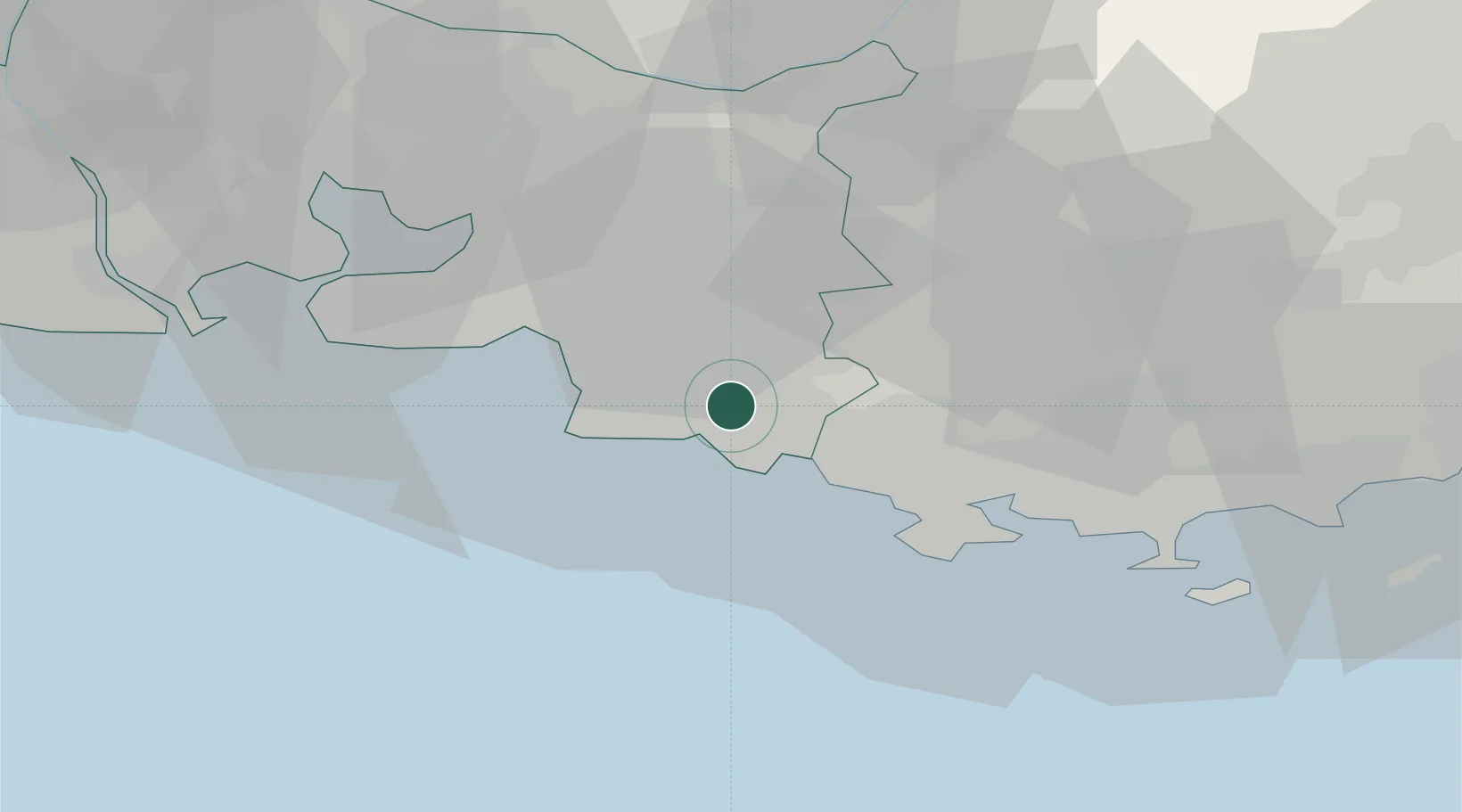
Carnoux-en-Provence
43.2500°, 5.5667°
7,042
Population
1
Transport functions
Transport Functions
Multimodal
Hub Profile
Place type
Populated place
Region
Provence-Alpes-Côte d'Azur
Population
7,042
Time zone
Europe/Paris
Elevation
180 m
Location
Nearby Logistics Neighbours
Cities
- 1Roquefort-la-Bédoule4 km
- 2La Ciotat8 km
- 3Camp-du-Castellet15 km
- 4Auriol16 km
- 5Bandol18 km
Ports
- 1Marseille18 km
- 2Toulon33 km
- 3Port-de-Bouc50 km
- 4Fos58 km
- 5Port Saint Louis Du Rhone63 km
Airports
Trade Zones
- 1ZFU Marseille 15e et 16e19 km
- 2ZFU Saint-Barthélémy, Le Canet, Delorme-Paternelle27 km
- 3ZFU La Seyne-sur-Mer29 km
- 4ZFU Toulon33 km
- 5ZFU Avignon99 km
DatabookThe Record of Consolidated Knowledge
France beyond logistics?