UN/LOCODE hub · France
FRUDP

Camp-du-Castellet

43.2500°, 5.7500°
2
Transport functions

Transport Functions

Port
Multimodal
UN/LOCODE

Hub Profile

Region
83
GeoNames

Location

Location of FRUDP
Natural Earth 10m (public domain) · 83 · FRUDP · 43.25, 5.75GoogleOSMYandex

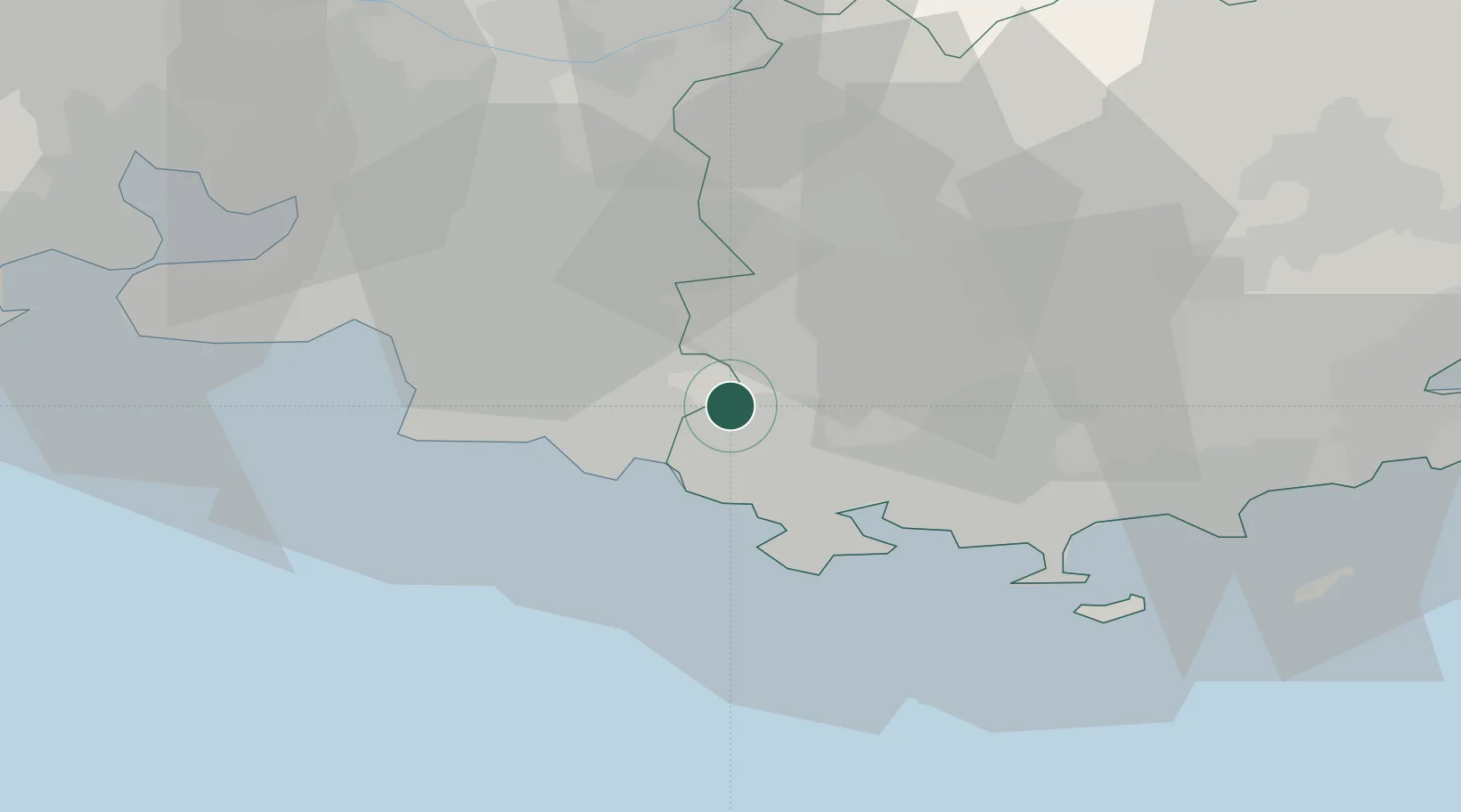
Nearby Logistics Neighbours

Cities
  1. 1Le Beausset7 km
  2. 2Roquefort-la-Bédoule11 km
  3. 3Évenos12 km
  4. 4Bandol13 km
  5. 5La Ciotat14 km
Nearest neighbours — logibook spatial index (haversine) over the source coordinates
Ports
  1. 1Toulon22 km
  2. 2Marseille32 km
  3. 3Port-de-Bouc64 km
  4. 4Saint-Tropez72 km
  5. 5Fos73 km
Nearest neighbours — logibook spatial index (haversine) over the source coordinates
Airports
  1. 1Le Castellet Airport3 km
  2. 2Toulon-Hyères Airport36 km
  3. 3Marseille Provence Airport48 km
  4. 4Le Luc-Le Cannet Airfield54 km
  5. 5La Môle Airport60 km
Nearest neighbours — logibook spatial index (haversine) over the source coordinates
Trade Zones
  1. 1ZFU La Seyne-sur-Mer20 km
  2. 2ZFU Toulon21 km
  3. 3ZFU Marseille 15e et 16e33 km
  4. 4ZFU Saint-Barthélémy, Le Canet, Delorme-Paternelle41 km
  5. 5ZFU Avignon109 km
Nearest neighbours — logibook spatial index (haversine) over the source coordinates
DatabookThe Record of Consolidated Knowledge
France beyond logistics?
Browse databook

All Sources

LocationsUN/LOCODE
UN/LOCODE — free
Portsthe NGA World Port Index
Public domain (US gov)
AirportsOurAirports
Public domain
Trade Zonesthe World Bank SEZ database
CC BY 4.0
Trade ZonesOpen Zone Map
CC BY
← France locations