Transport Functions
Multimodal
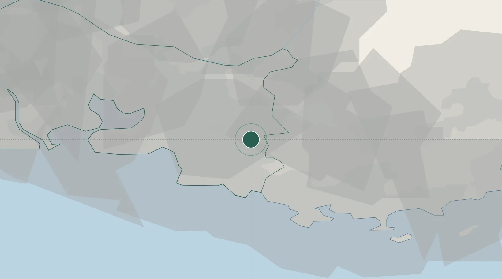
Hub Profile
Place type
Populated place
Region
Provence-Alpes-Côte d'Azur
Population
9,872
Time zone
Europe/Paris
Elevation
232 m
Location
Nearby Logistics Neighbours
Cities
- 1Trets9 km
- 2Mimet11 km
- 3Châteauneuf-le-Rouge12 km
- 4Roquefort-la-Bédoule15 km
- 5Pourcieux15 km
Ports
- 1Marseille23 km
- 2Toulon39 km
- 3Port-de-Bouc53 km
- 4Fos61 km
- 5Port Saint Louis Du Rhone66 km
Airports
Trade Zones
- 1ZFU Marseille 15e et 16e23 km
- 2ZFU Saint-Barthélémy, Le Canet, Delorme-Paternelle34 km
- 3ZFU La Seyne-sur-Mer37 km
- 4ZFU Toulon38 km
- 5ZFU Avignon92 km
DatabookThe Record of Consolidated Knowledge
France beyond logistics?