Medium airport · France
Istres-Le Tubé Air BaseLFMI
43.5227°, 4.9238°
12,303 ft
Longest runway
1
Runways
82 ft
Elevation
Runway & Layout

Radio Frequencies
TWR
122.1 MHz
ISTRES TWR
GND
121.85 MHz
ISTRES GND
APP
28.252 MHz
ISTRES APP
APP
120.35 MHz
ISTRES APP
ACC
119.475 MHz
RHONE ACC
OPS
25.725 MHz
RIVERIA OPS
Navaids
ITR TACAN Istres 115.70 MHz
ITR NDB Istres 391 kHz
Runways · 1
| Runway | Dimensions | Surface | True heading | Lit |
|---|---|---|---|---|
| 15/33 | 12,303 × 197ft | Asphalt | 153° | ✓ |
Airport Specifications
ICAO code
LFMI
Airport class
Medium airport
Scheduled service
No
Runway surface
Asphalt
Served city
Istres, Bouches-du-Rhône
Location
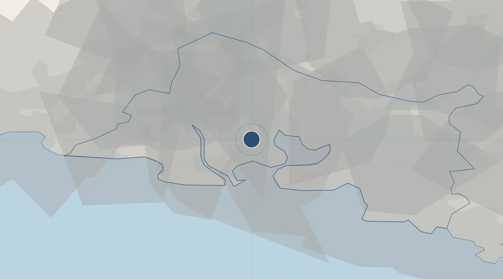
Nearby Logistics Neighbours
Airports
Cities
- 1Coussoul/Fos-sur-Mer5 km
- 2Miramas9 km
- 3Saint-Chamas9 km
- 4Port-Saint-Louis-du-Rhône10 km
- 5Fos-sur-Mer11 km
Ports
- 1Fos12 km
- 2Port-de-Bouc15 km
- 3Port Saint Louis Du Rhone18 km
- 4Marseille43 km
- 5Toulon93 km
Trade Zones
- 1ZFU Saint-Barthélémy, Le Canet, Delorme-Paternelle37 km
- 2ZFU Marseille 15e et 16e41 km
- 3ZFU Avignon48 km
- 4ZFU Nîmes57 km
- 5ZFU Montpellier87 km
DatabookThe Record of Consolidated Knowledge
France beyond logistics?