Transport Functions
Port
Hub Profile
Place type
Populated place
Region
Provence-Alpes-Côte d'Azur
Population
33,113
Time zone
Europe/Paris
Elevation
12 m
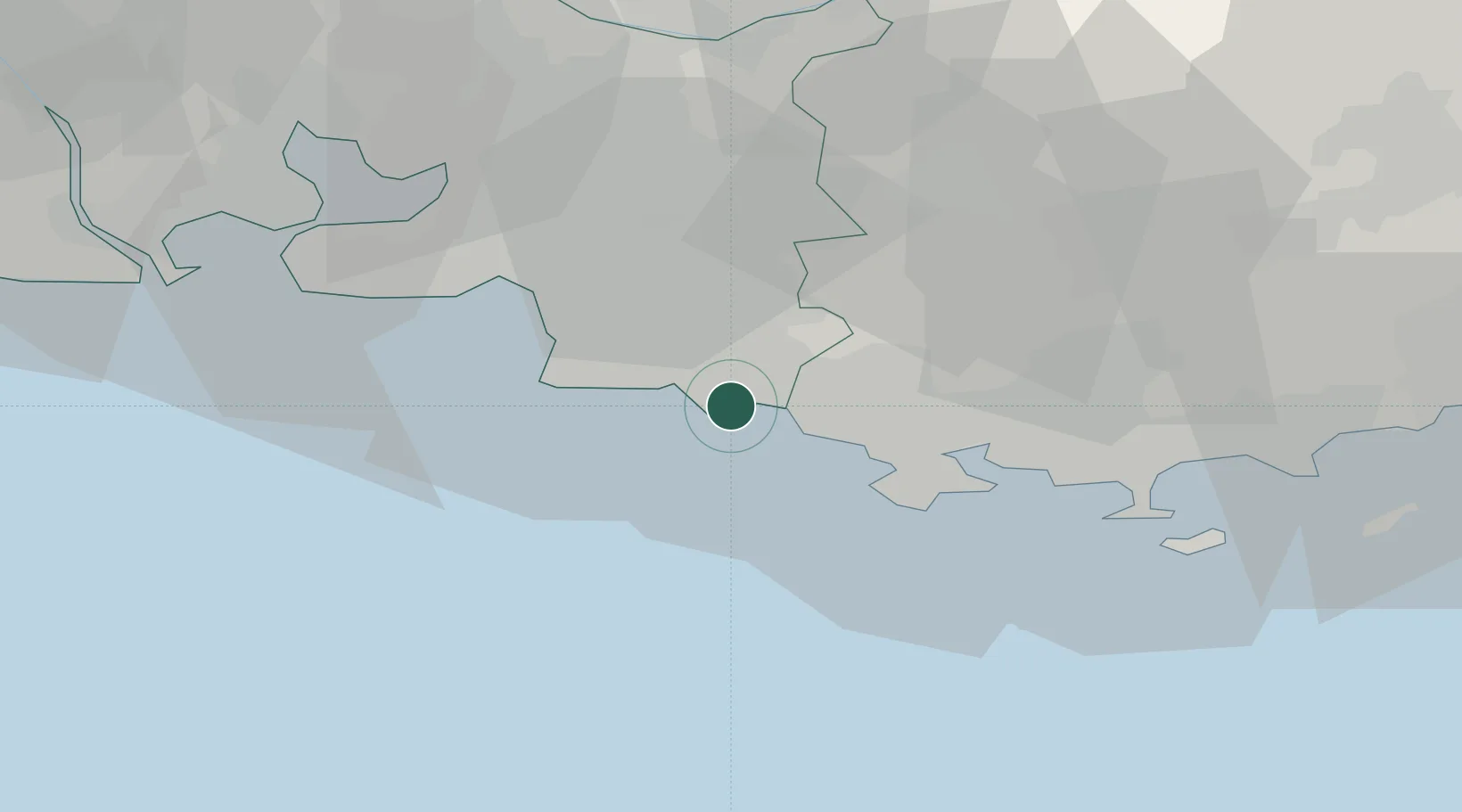
Location
Nearby Logistics Neighbours
Cities
- 1Roquefort-la-Bédoule8 km
- 2Carnoux-en-Provence8 km
- 3Bandol11 km
- 4Camp-du-Castellet14 km
- 5Le Beausset16 km
Ports
- 1Marseille24 km
- 2Toulon27 km
- 3Port-de-Bouc55 km
- 4Fos64 km
- 5Port Saint Louis Du Rhone67 km
Airports
Trade Zones
- 1ZFU La Seyne-sur-Mer23 km
- 2ZFU Marseille 15e et 16e25 km
- 3ZFU Toulon28 km
- 4ZFU Saint-Barthélémy, Le Canet, Delorme-Paternelle31 km
- 5ZFU Avignon107 km
DatabookThe Record of Consolidated Knowledge
France beyond logistics?