Transport Functions
Multimodal
Hub Profile
Place type
Populated place
Region
Provence-Alpes-Côte d'Azur
Population
8,568
Time zone
Europe/Paris
Elevation
184 m
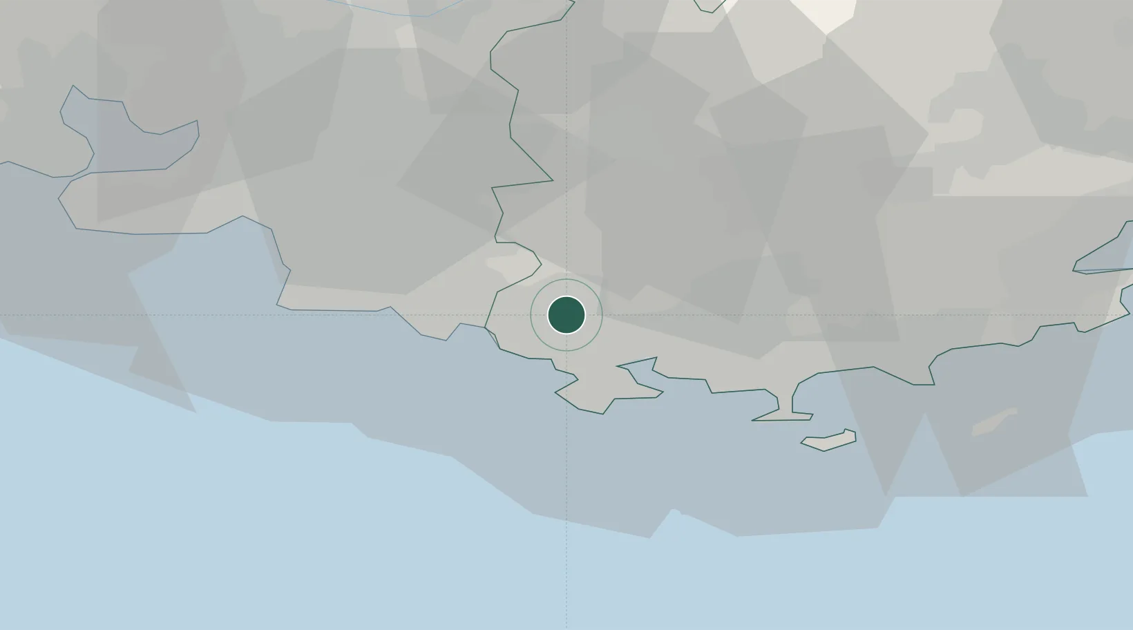
Location
Nearby Logistics Neighbours
Cities
- 1Évenos6 km
- 2Camp-du-Castellet7 km
- 3Ollioules8 km
- 4Sanary-sur-Mer9 km
- 5Bandol10 km
Ports
- 1Toulon15 km
- 2Marseille37 km
- 3Saint-Tropez68 km
- 4Port-de-Bouc70 km
- 5Fos78 km
Airports
- 1Le Castellet Airport6 km
- 2Toulon-Hyères Airport30 km
- 3Le Luc-Le Cannet Airfield52 km
- 4Marseille Provence Airport54 km
- 5La Môle Airport55 km
Trade Zones
- 1ZFU La Seyne-sur-Mer13 km
- 2ZFU Toulon14 km
- 3ZFU Marseille 15e et 16e38 km
- 4ZFU Saint-Barthélémy, Le Canet, Delorme-Paternelle46 km
- 5ZFU Avignon116 km
DatabookThe Record of Consolidated Knowledge
France beyond logistics?