UN/LOCODE hub · France
FRYJK

Ponteilla

42.6333°, 2.8167°
1,996
Population
2
Transport functions

Transport Functions

Port
Multimodal
UN/LOCODE

Hub Profile

Place type
Populated place
GeoNames
Region
Occitanie
GeoNames
Population
1,996
GeoNames
Time zone
Europe/Paris
GeoNames
Elevation
104 m
GeoNames

Location

Location of FRYJK
Natural Earth 10m (public domain) · Occitanie · FRYJK · 42.63, 2.82GoogleOSMYandex

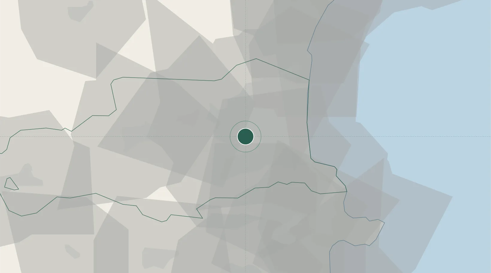
Nearby Logistics Neighbours

Cities
  1. 1Trouillas2 km
  2. 2Nyls3 km
  3. 3Pollestres4 km
  4. 4Passa6 km
  5. 5Le Soler6 km
Nearest neighbours — logibook spatial index (haversine) over the source coordinates
Ports
  1. 1Port-Vendres28 km
  2. 2Port-La-Nouvelle47 km
  3. 3Rosas51 km
  4. 4Palamos92 km
  5. 5San Feliu De Guixols96 km
Nearest neighbours — logibook spatial index (haversine) over the source coordinates
Airports
  1. 1Perpignan-Rivesaltes (Llabanère) Airport13 km
  2. 2Carcassonne Salvaza Airport77 km
  3. 3Girona-Costa Brava Airport81 km
  4. 4Folgueroles Airfield87 km
  5. 5Béziers Vias airport88 km
Nearest neighbours — logibook spatial index (haversine) over the source coordinates
Trade Zones
  1. 1ZFU Perpignan10 km
  2. 2ZFU Béziers85 km
  3. 3ZFU Montpellier137 km
  4. 4Zona Franca de Barcelona155 km
  5. 5ZFU Toulouse155 km
Nearest neighbours — logibook spatial index (haversine) over the source coordinates
DatabookThe Record of Consolidated Knowledge
France beyond logistics?
Browse databook

All Sources

LocationsUN/LOCODE
UN/LOCODE — free
LocationsGeoNames
CC BY 4.0
Portsthe NGA World Port Index
Public domain (US gov)
AirportsOurAirports
Public domain
Trade Zonesthe World Bank SEZ database
CC BY 4.0
Trade ZonesOpen Zone Map
CC BY
← France locations