UN/LOCODE hub · France
FRNYS

Nyls

42.6333°, 2.8500°
2
Transport functions

Transport Functions

Road
Multimodal
UN/LOCODE

Hub Profile

Region
66
GeoNames

Location

Location of FRNYS
Natural Earth 10m (public domain) · 66 · FRNYS · 42.63, 2.85GoogleOSMYandex

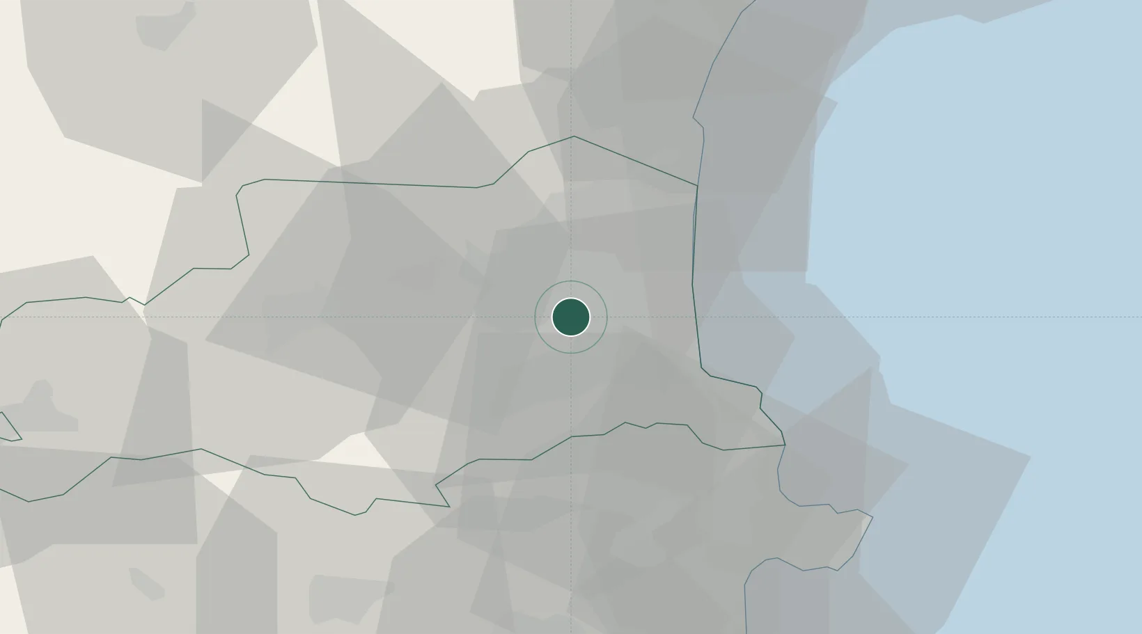
Nearby Logistics Neighbours

Cities
  1. 1Pollestres1 km
  2. 2Ponteilla3 km
  3. 3Trouillas3 km
  4. 4Villeneuve-de-la-Raho6 km
  5. 5Bages6 km
Nearest neighbours — logibook spatial index (haversine) over the source coordinates
Ports
  1. 1Port-Vendres25 km
  2. 2Port-La-Nouvelle46 km
  3. 3Rosas49 km
  4. 4Palamos92 km
  5. 5San Feliu De Guixols96 km
Nearest neighbours — logibook spatial index (haversine) over the source coordinates
Airports
  1. 1Perpignan-Rivesaltes (Llabanère) Airport12 km
  2. 2Carcassonne Salvaza Airport79 km
  3. 3Girona-Costa Brava Airport81 km
  4. 4Béziers Vias airport87 km
  5. 5Folgueroles Airfield88 km
Nearest neighbours — logibook spatial index (haversine) over the source coordinates
Trade Zones
  1. 1ZFU Perpignan8 km
  2. 2ZFU Béziers84 km
  3. 3ZFU Montpellier135 km
  4. 4Zona Franca de Barcelona156 km
  5. 5ZFU Toulouse157 km
Nearest neighbours — logibook spatial index (haversine) over the source coordinates
DatabookThe Record of Consolidated Knowledge
France beyond logistics?
Browse databook

All Sources

LocationsUN/LOCODE
UN/LOCODE — free
Portsthe NGA World Port Index
Public domain (US gov)
AirportsOurAirports
Public domain
Trade Zonesthe World Bank SEZ database
CC BY 4.0
Trade ZonesOpen Zone Map
CC BY
← France locations