Transport Functions
Road
Multimodal
Hub Profile
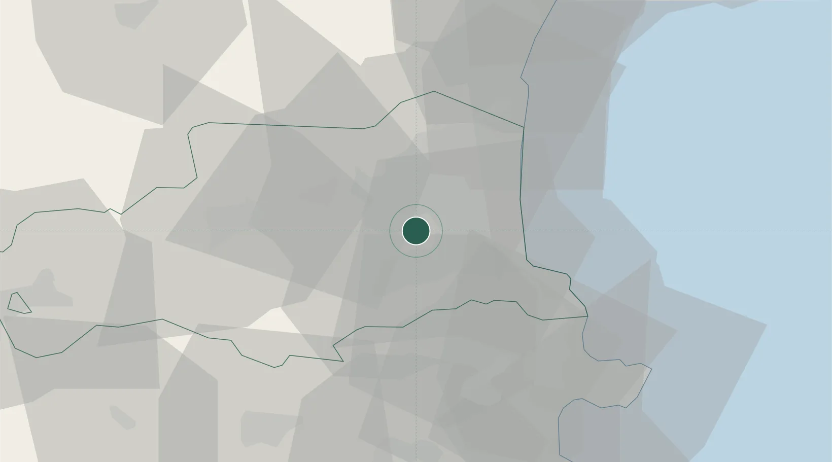
Place type
Populated place
Region
Occitanie
Population
1,552
Time zone
Europe/Paris
Elevation
99 m
Location
Nearby Logistics Neighbours
Cities
- 1Ponteilla2 km
- 2Nyls3 km
- 3Passa4 km
- 4Villemolaque4 km
- 5Pollestres5 km
Ports
- 1Port-Vendres27 km
- 2Port-La-Nouvelle49 km
- 3Rosas49 km
- 4Palamos91 km
- 5San Feliu De Guixols94 km
Airports
Trade Zones
- 1ZFU Perpignan11 km
- 2ZFU Béziers86 km
- 3ZFU Montpellier138 km
- 4Zona Franca de Barcelona154 km
- 5ZFU Toulouse157 km
DatabookThe Record of Consolidated Knowledge
France beyond logistics?