Transport Functions
Rail
Road
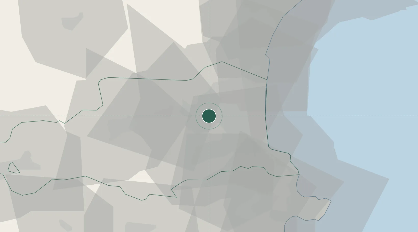
Hub Profile
Place type
Populated place
Region
Occitanie
Population
6,377
Time zone
Europe/Paris
Elevation
74 m
Location
Nearby Logistics Neighbours
Cities
- 1Villeneuve-la-Rivière2 km
- 2Pézilla-la-Rivière3 km
- 3Saint-Féliu-d'Avall5 km
- 4Ponteilla6 km
- 5Corneilla-la-Rivière6 km
Ports
- 1Port-Vendres32 km
- 2Port-La-Nouvelle43 km
- 3Rosas56 km
- 4Palamos98 km
- 5San Feliu De Guixols102 km
Airports
Trade Zones
- 1ZFU Perpignan8 km
- 2ZFU Béziers80 km
- 3ZFU Montpellier133 km
- 4ZFU Toulouse151 km
- 5Zona Franca de Barcelona160 km
DatabookThe Record of Consolidated Knowledge
France beyond logistics?