Transport Functions
Road
Multimodal
Hub Profile
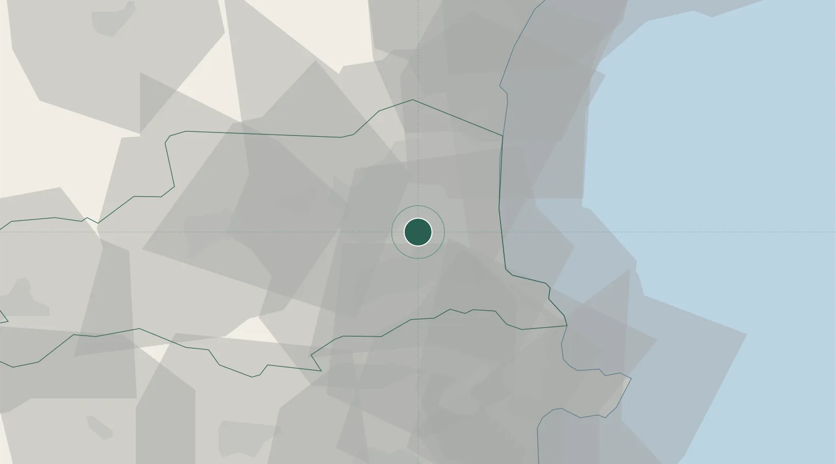
Place type
Populated place
Region
Occitanie
Population
3,964
Time zone
Europe/Paris
Elevation
53 m
Location
Nearby Logistics Neighbours
Cities
- 1Nyls1 km
- 2Villeneuve-de-la-Raho4 km
- 3Ponteilla4 km
- 4Trouillas5 km
- 5Bages5 km
Ports
- 1Port-Vendres24 km
- 2Port-La-Nouvelle46 km
- 3Rosas48 km
- 4Palamos91 km
- 5San Feliu De Guixols96 km
Airports
Trade Zones
- 1ZFU Perpignan8 km
- 2ZFU Béziers83 km
- 3ZFU Montpellier134 km
- 4Zona Franca de Barcelona157 km
- 5ZFU Toulouse158 km
DatabookThe Record of Consolidated Knowledge
France beyond logistics?