UN/LOCODE hub · France
FRYCH

Scy-Chazelles

49.1167°, 6.1167°
2,763
Population
1
Transport functions

Transport Functions

Multimodal
UN/LOCODE

Hub Profile

Place type
Populated place
GeoNames
Region
Grand Est
GeoNames
Population
2,763
GeoNames
Time zone
Europe/Paris
GeoNames
Elevation
244 m
GeoNames

Location

Location of FRYCH
Natural Earth 10m (public domain) · Grand Est · FRYCH · 49.12, 6.12GoogleOSMYandex

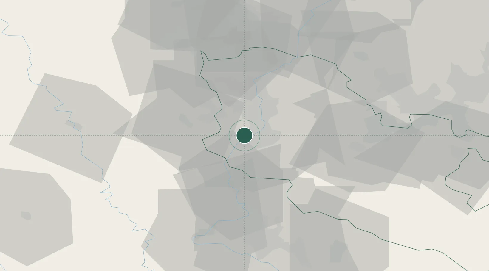
Nearby Logistics Neighbours

Cities
  1. 1Vaux2 km
  2. 2Montigny-lès-Metz3 km
  3. 3Woippy4 km
  4. 4Metz5 km
  5. 5Sablon5 km
Nearest neighbours — logibook spatial index (haversine) over the source coordinates
Ports
  1. 1Bruxelles232 km
  2. 2Antwerpen264 km
  3. 3Ghent276 km
  4. 4Terneuzen297 km
  5. 5Hansweert300 km
Nearest neighbours — logibook spatial index (haversine) over the source coordinates
Airports
  1. 1Metz-Nancy-Lorraine Airport18 km
  2. 2Lieutenant Étienne Mantoux Air Base35 km
  3. 3Verdun-Le Rozelier Airfield47 km
  4. 4Nancy-Essey Airport48 km
  5. 5Luxembourg-Findel International Airport57 km
Nearest neighbours — logibook spatial index (haversine) over the source coordinates
Trade Zones
  1. 1ZFU Metz4 km
  2. 2ZFU Woippy-Metz5 km
  3. 3ZFU Maxéville, Laxou, et de Nancy46 km
  4. 4Luxembourg Free Port59 km
  5. 5ZFU La Cité Behren-lès-Forbach59 km
Nearest neighbours — logibook spatial index (haversine) over the source coordinates
DatabookThe Record of Consolidated Knowledge
France beyond logistics?
Browse databook

All Sources

LocationsUN/LOCODE
UN/LOCODE — free
LocationsGeoNames
CC BY 4.0
Portsthe NGA World Port Index
Public domain (US gov)
AirportsOurAirports
Public domain
Trade Zonesthe World Bank SEZ database
CC BY 4.0
Trade ZonesOpen Zone Map
CC BY
← France locations