UN/LOCODE hub · France
FRYUE
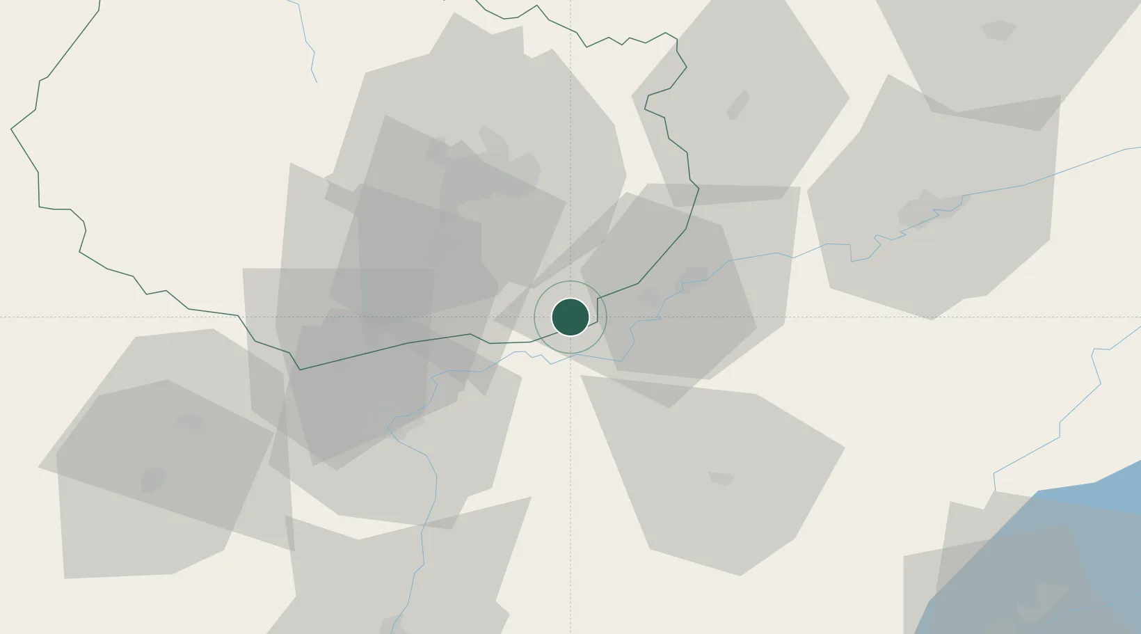
Montagny-lès-Seurre
47.0167°, 5.2500°
105
Population
1
Transport functions
Transport Functions
Multimodal
Hub Profile
Place type
Populated place
Region
Bourgogne
Population
105
Time zone
Europe/Paris
Elevation
191 m
Location
Nearby Logistics Neighbours
Cities
- 1Chamblanc8 km
- 2Pagny-la-Ville8 km
- 3Lechâtelet8 km
- 4Seurre8 km
- 5Trugny8 km
Ports
- 1Savona392 km
- 2Rada Di Vado394 km
- 3Fos401 km
- 4Nice402 km
- 5Monaco402 km
Airports
- 1Dole Tavaux Airport14 km
- 2Dijon Longvic airport31 km
- 3Mâcon-Charnay Airfield87 km
- 4Vesoul-Frotey Airfield100 km
- 5Geneva Cointrin International Airport109 km
Trade Zones
DatabookThe Record of Consolidated Knowledge
France beyond logistics?