Transport Functions
Multimodal
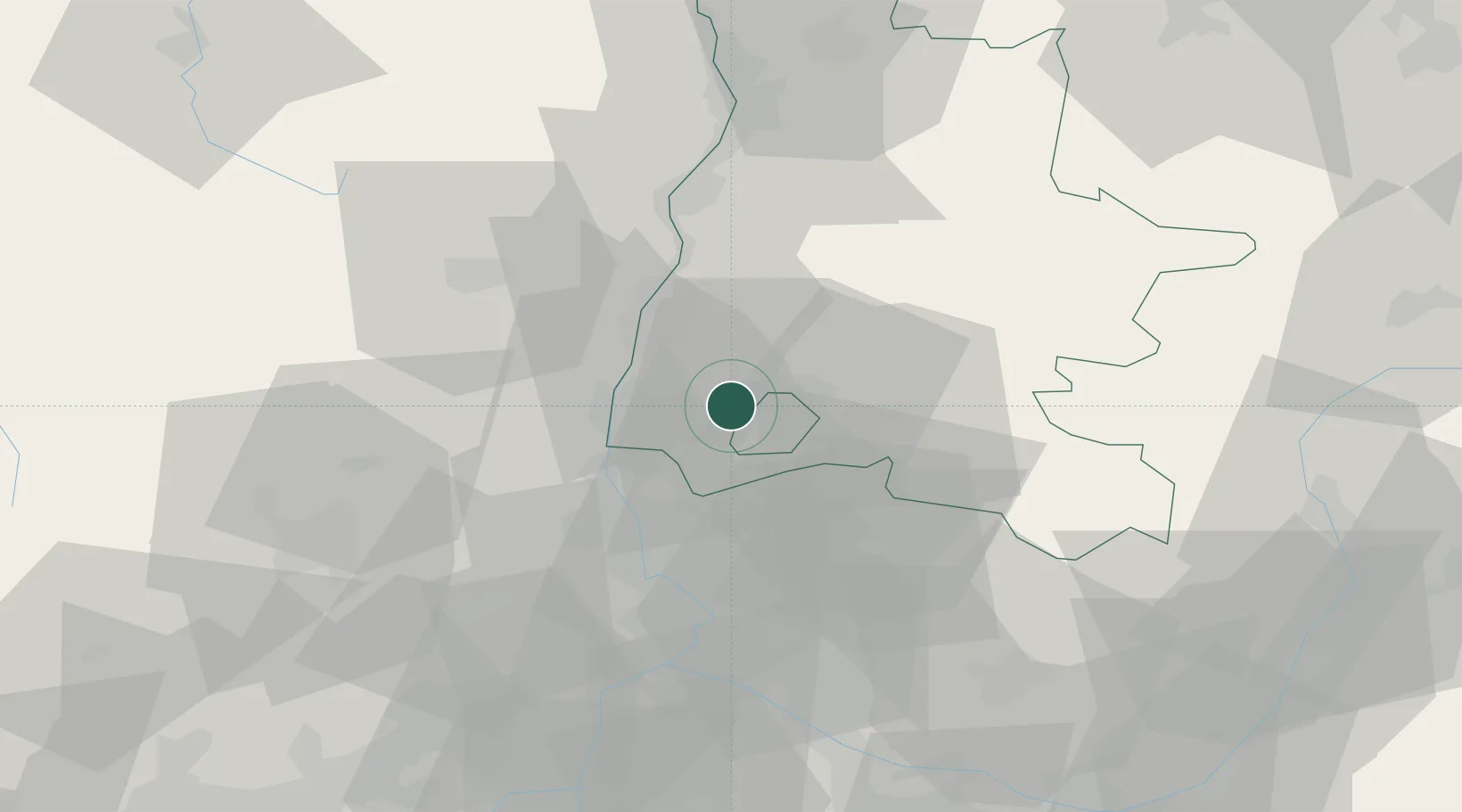
Hub Profile
Place type
Populated place
Region
Rhône-Alpes
Population
527
Time zone
Europe/Paris
Elevation
184 m
Location
Nearby Logistics Neighbours
Cities
- 1Grignan2 km
- 2Chantemerle-lès-Grignan4 km
- 3La Baume-de-Transit6 km
- 4Les Granges-Gontardes10 km
- 5Taulignan10 km
Ports
- 1Fos109 km
- 2Port-de-Bouc112 km
- 3Port Saint Louis Du Rhone113 km
- 4Marseille127 km
- 5Sete146 km
Airports
Trade Zones
- 1ZFU Avignon51 km
- 2ZFU Valence58 km
- 3ZFU Nîmes77 km
- 4ZFU Grenoble108 km
- 5ZFU Montpellier121 km
DatabookThe Record of Consolidated Knowledge
France beyond logistics?