UN/LOCODE hub · France
FRWGG

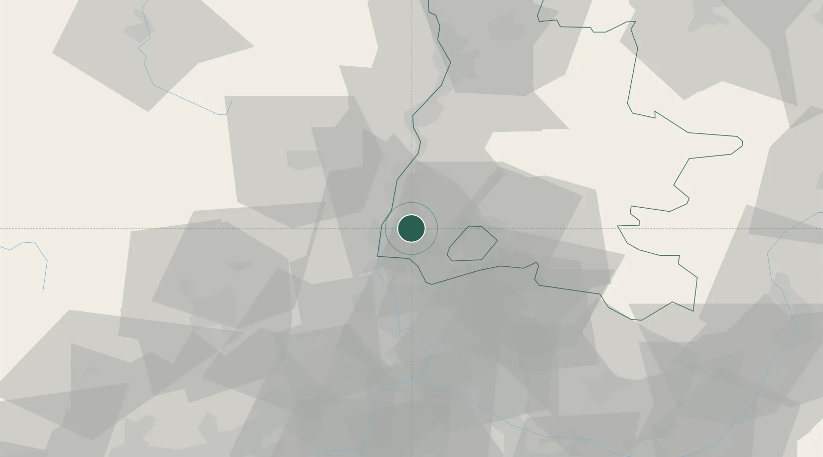
Les Granges-Gontardes

44.4167°, 4.7667°
593
Population
1
Transport functions

Transport Functions

Multimodal
UN/LOCODE

Hub Profile

Place type
Populated place
GeoNames
Region
Rhône-Alpes
GeoNames
Population
593
GeoNames
Time zone
Europe/Paris
GeoNames
Elevation
93 m
GeoNames

Location

Location of FRWGG
Natural Earth 10m (public domain) · Rhône-Alpes · FRWGG · 44.42, 4.77GoogleOSMYandex

Nearby Logistics Neighbours

Cities
  1. 1Donzère5 km
  2. 2Chantemerle-lès-Grignan6 km
  3. 3Allan8 km
  4. 4Chamaret10 km
  5. 5Grignan11 km
Nearest neighbours — logibook spatial index (haversine) over the source coordinates
Ports
  1. 1Fos112 km
  2. 2Port-de-Bouc114 km
  3. 3Port Saint Louis Du Rhone115 km
  4. 4Marseille131 km
  5. 5Sete142 km
Nearest neighbours — logibook spatial index (haversine) over the source coordinates
Airports
  1. 1Orange-Caritat (BA 115) Air Base32 km
  2. 2Aubenas-South Ardèche Airport34 km
  3. 3Avignon Caumont airport58 km
  4. 4Valence-Chabeuil Airport58 km
  5. 5Aérodrome d'Alès Cévennes63 km
Nearest neighbours — logibook spatial index (haversine) over the source coordinates
Trade Zones
  1. 1ZFU Avignon52 km
  2. 2ZFU Valence57 km
  3. 3ZFU Nîmes74 km
  4. 4ZFU Grenoble112 km
  5. 5ZFU Montpellier116 km
Nearest neighbours — logibook spatial index (haversine) over the source coordinates
DatabookThe Record of Consolidated Knowledge
France beyond logistics?
Browse databook

All Sources

LocationsUN/LOCODE
UN/LOCODE — free
LocationsGeoNames
CC BY 4.0
Portsthe NGA World Port Index
Public domain (US gov)
AirportsOurAirports
Public domain
Trade Zonesthe World Bank SEZ database
CC BY 4.0
Trade ZonesOpen Zone Map
CC BY
← France locations