UN/LOCODE hub · France
FRBT3
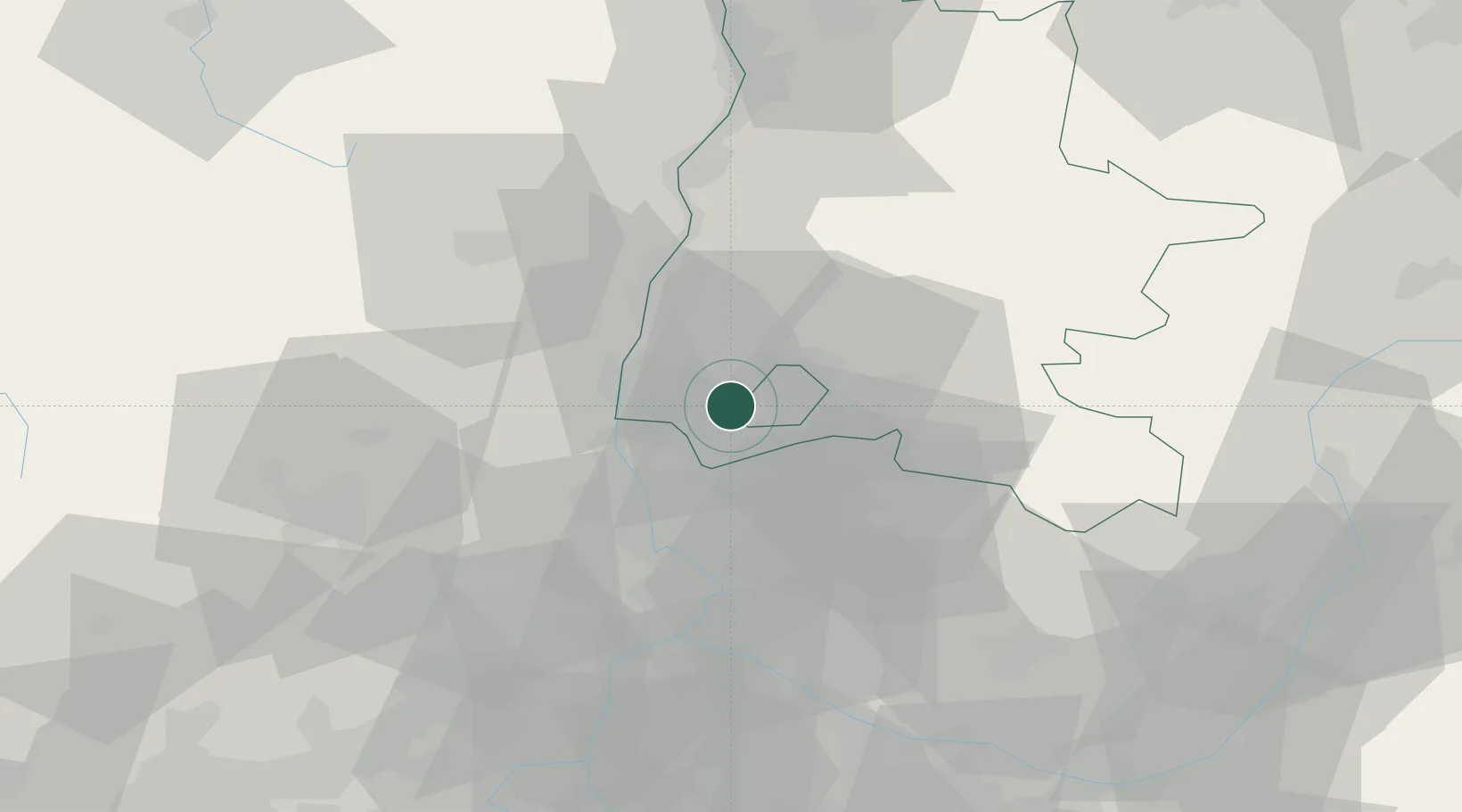
La Baume-de-Transit
44.3500°, 4.8667°
830
Population
1
Transport functions
Transport Functions
Multimodal
Hub Profile
Place type
Populated place
Region
Rhône-Alpes
Population
830
Time zone
Europe/Paris
Elevation
122 m
Location
Nearby Logistics Neighbours
Cities
- 1Chamaret6 km
- 2Chantemerle-lès-Grignan6 km
- 3Grignan8 km
- 4Les Granges-Gontardes11 km
- 5Rochegude11 km
Ports
- 1Fos104 km
- 2Port-de-Bouc106 km
- 3Port Saint Louis Du Rhone108 km
- 4Marseille122 km
- 5Sete141 km
Airports
Trade Zones
- 1ZFU Avignon45 km
- 2ZFU Valence64 km
- 3ZFU Nîmes72 km
- 4ZFU Grenoble113 km
- 5ZFU Montpellier116 km
DatabookThe Record of Consolidated Knowledge
France beyond logistics?