UN/LOCODE hub · France
FRDR2

Chantemerle-lès-Grignan
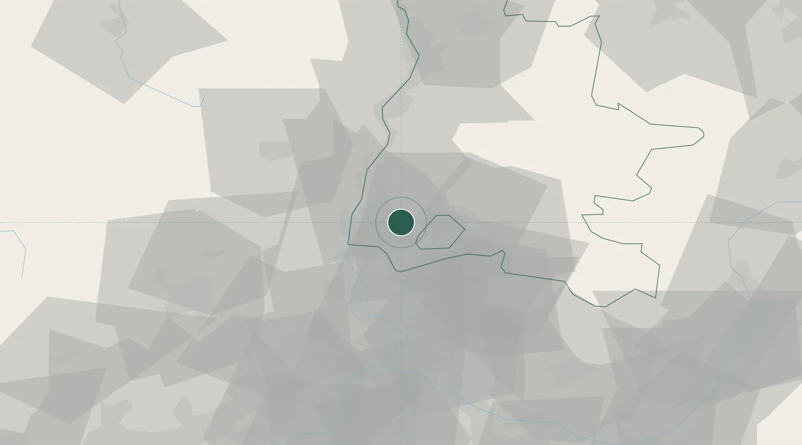
44.4000°, 4.8333°
187
Population
1
Transport functions

Transport Functions

Multimodal
UN/LOCODE

Hub Profile

Place type
Populated place
GeoNames
Region
Rhône-Alpes
GeoNames
Population
187
GeoNames
Time zone
Europe/Paris
GeoNames
Elevation
210 m
GeoNames

Location

Location of FRDR2
Natural Earth 10m (public domain) · Rhône-Alpes · FRDR2 · 44.40, 4.83GoogleOSMYandex

Nearby Logistics Neighbours

Cities
  1. 1Chamaret4 km
  2. 2Les Granges-Gontardes6 km
  3. 3Grignan6 km
  4. 4La Baume-de-Transit6 km
  5. 5Allan10 km
Nearest neighbours — logibook spatial index (haversine) over the source coordinates
Ports
  1. 1Fos109 km
  2. 2Port-de-Bouc112 km
  3. 3Port Saint Louis Du Rhone113 km
  4. 4Marseille128 km
  5. 5Sete144 km
Nearest neighbours — logibook spatial index (haversine) over the source coordinates
Airports
  1. 1Orange-Caritat (BA 115) Air Base29 km
  2. 2Aubenas-South Ardèche Airport40 km
  3. 3Avignon Caumont airport55 km
  4. 4Valence-Chabeuil Airport59 km
  5. 5Aérodrome d'Alès Cévennes66 km
Nearest neighbours — logibook spatial index (haversine) over the source coordinates
Trade Zones
  1. 1ZFU Avignon50 km
  2. 2ZFU Valence58 km
  3. 3ZFU Nîmes75 km
  4. 4ZFU Grenoble110 km
  5. 5ZFU Montpellier119 km
Nearest neighbours — logibook spatial index (haversine) over the source coordinates
DatabookThe Record of Consolidated Knowledge
France beyond logistics?
Browse databook

All Sources

LocationsUN/LOCODE
UN/LOCODE — free
LocationsGeoNames
CC BY 4.0
Portsthe NGA World Port Index
Public domain (US gov)
AirportsOurAirports
Public domain
Trade Zonesthe World Bank SEZ database
CC BY 4.0
Trade ZonesOpen Zone Map
CC BY
← France locations