Transport Functions
Road
Multimodal
Hub Profile
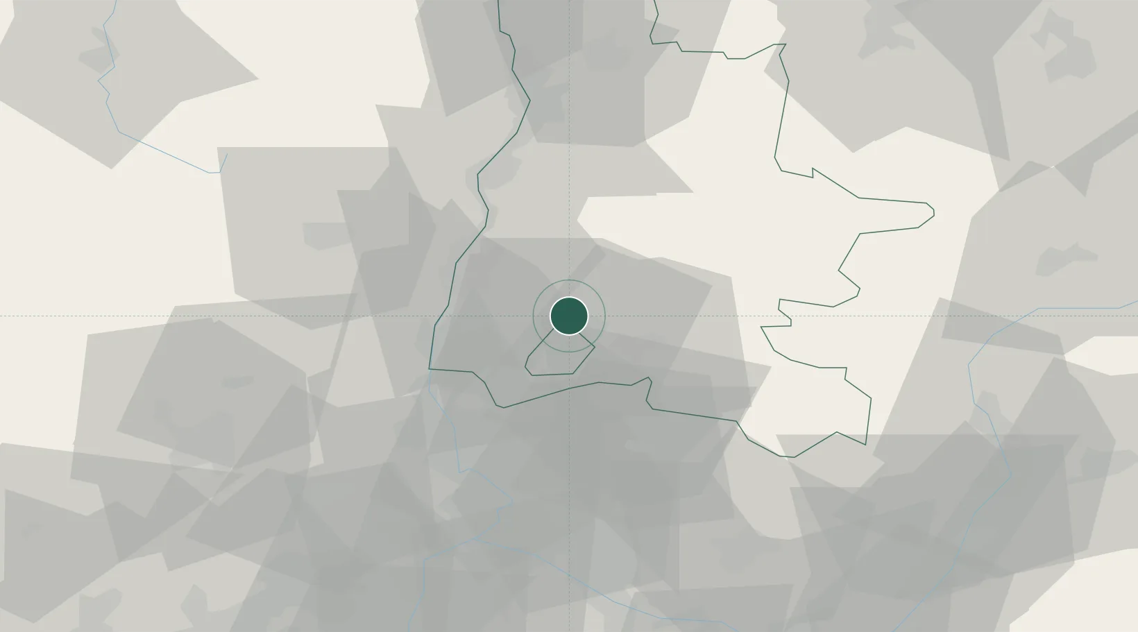
Place type
Populated place
Region
Rhône-Alpes
Population
1,685
Time zone
Europe/Paris
Elevation
265 m
Location
Nearby Logistics Neighbours
Cities
- 1Roche-Saint-Secret5 km
- 2Saint-Pantaléon-les-Vignes7 km
- 3Grignan8 km
- 4Rousset-les-Vignes8 km
- 5Chamaret10 km
Ports
- 1Fos115 km
- 2Port-de-Bouc117 km
- 3Port Saint Louis Du Rhone119 km
- 4Marseille130 km
- 5Sete156 km
Airports
Trade Zones
- 1ZFU Valence54 km
- 2ZFU Avignon58 km
- 3ZFU Nîmes86 km
- 4ZFU Grenoble98 km
- 5ZFU Saint-Etienne121 km
DatabookThe Record of Consolidated Knowledge
France beyond logistics?