Transport Functions
Road
Multimodal
Hub Profile
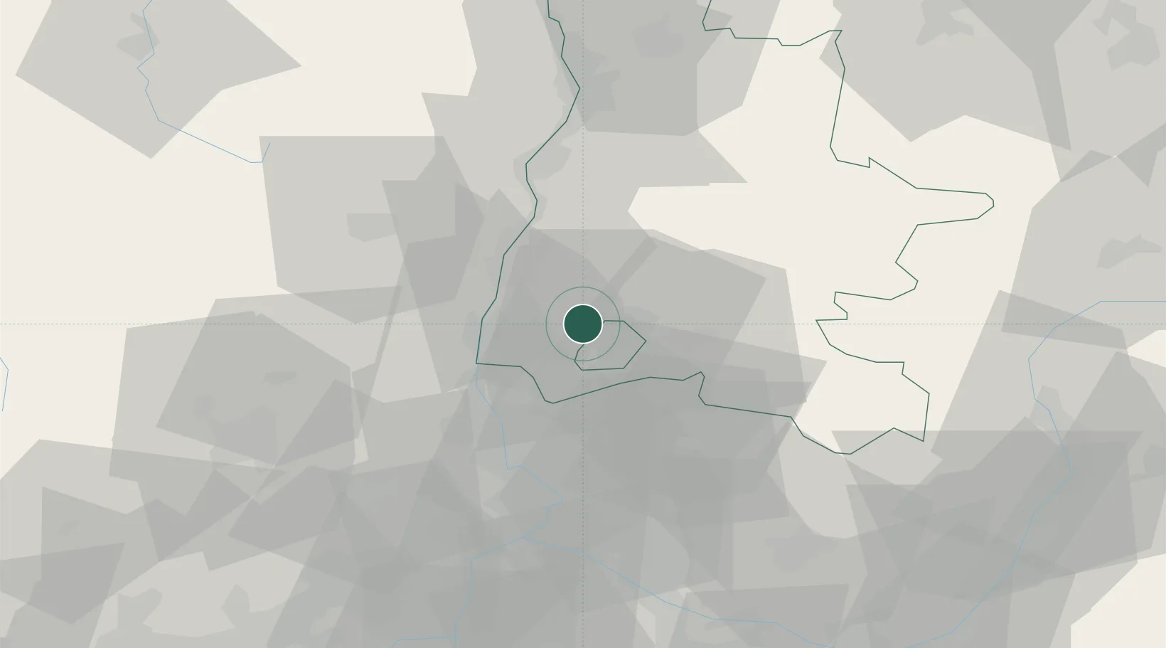
Place type
Populated place
Region
Rhône-Alpes
Population
1,443
Time zone
Europe/Paris
Elevation
198 m
Location
Nearby Logistics Neighbours
Cities
- 1Chamaret2 km
- 2Chantemerle-lès-Grignan6 km
- 3Taulignan8 km
- 4La Baume-de-Transit8 km
- 5Les Granges-Gontardes11 km
Ports
- 1Fos111 km
- 2Port-de-Bouc113 km
- 3Port Saint Louis Du Rhone115 km
- 4Marseille128 km
- 5Sete148 km
Airports
Trade Zones
- 1ZFU Avignon53 km
- 2ZFU Valence57 km
- 3ZFU Nîmes80 km
- 4ZFU Grenoble105 km
- 5ZFU Saint-Etienne122 km
DatabookThe Record of Consolidated Knowledge
France beyond logistics?