Transport Functions
Rail
Road
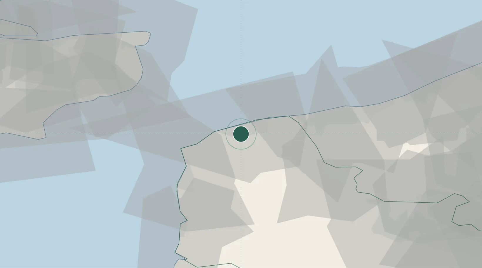
Hub Profile
Place type
Populated place
Region
Hauts-de-France
Time zone
Europe/Paris
Elevation
5 m
Location
Nearby Logistics Neighbours
Cities
- 1Calais2 km
- 2Fréthun3 km
- 3Sangatte7 km
- 4Guînes8 km
- 5Fort-Batard11 km
Ports
- 1Calais4 km
- 2Gravelines20 km
- 3Boulogne-Sur-Mer28 km
- 4Dunkerque Port Est38 km
- 5Dover Harbor42 km
Airports
DatabookThe Record of Consolidated Knowledge
France beyond logistics?