Transport Functions
Rail
Hub Profile
Place type
District seat
Region
Occitanie
Population
50,776
Time zone
Europe/Paris
Elevation
11 m
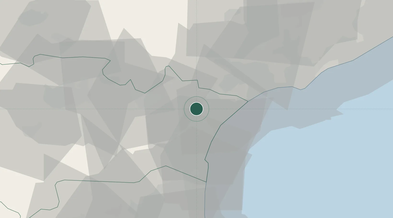
Location
Nearby Logistics Neighbours
Cities
- 1Armissan7 km
- 2Moussan7 km
- 3Cuxac-d'Aude7 km
- 4Coursan8 km
- 5Névian9 km
Ports
- 1Port-La-Nouvelle19 km
- 2Sete62 km
- 3Port-Vendres75 km
- 4Rosas103 km
- 5Port Saint Louis Du Rhone149 km
Airports
Trade Zones
- 1ZFU Béziers24 km
- 2ZFU Perpignan55 km
- 3ZFU Montpellier83 km
- 4ZFU Nîmes130 km
- 5ZFU Toulouse134 km
DatabookThe Record of Consolidated Knowledge
France beyond logistics?