Transport Functions
Road
Multimodal
Hub Profile
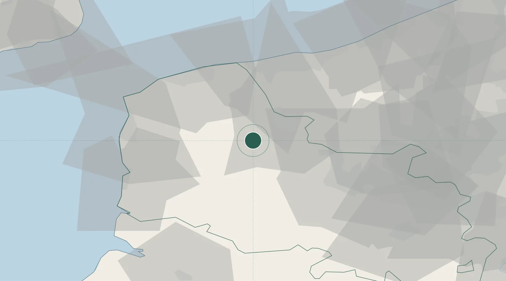
Place type
Populated place
Region
Hauts-de-France
Time zone
Europe/Paris
Elevation
52 m
Location
Nearby Logistics Neighbours
Cities
- 1Quelmes6 km
- 2Nielles-lès-Bléquin8 km
- 3Quercamps10 km
- 4Saint-Omer11 km
- 5Moulle11 km
Ports
- 1Gravelines35 km
- 2Calais37 km
- 3Boulogne-Sur-Mer38 km
- 4Dunkerque Port Est45 km
- 5Nieuwpoort66 km
Airports
Trade Zones
DatabookThe Record of Consolidated Knowledge
France beyond logistics?